22 Linden Street, Romford, RM7 7DP
About 22 Linden Street
22 Linden Street is a five-bedroom semi-detached house in Romford (RM7 7DP). It has a recorded floor area of 151 m² (around 1625 sq ft), construction records dating it to 1930-1949 and council tax band D. The latest certificate (May 2022) shows a D (score 59), a step below the typical UK home. The recommended improvements would lift it to B (score 84), a 2-band jump. Our model identifies extension potential, subject to local planning policy.
At 151 m² the property is well over the postcode median (111 m² across 33 EPCs), placing it in the larger end of the local stock. 5 bedrooms is on the larger side for this postcode, where 3 is the typical count. On a £-per-square-foot basis, the last sale (£388/sq ft) was about 94.7% above the typical sold price in the postcode. Last sale on file: £630,000 in September 2022. That sale was during the post-pandemic price surge, when transactions cleared materially above pre-2020 trend.
What this property has
Inside
- Bedrooms5
Outside
- Private gardenYes
- GarageYes
Building
- Extension potentialPossible
Everything you need to know about 22 Linden Street
The true value, the hidden risks and the full sale history, in one report.
30-day money-back guarantee

The data behind every report


Energy performance
22 Linden Street's carbon output runs well above what efficient homes in the postcode produce.
EPC Rating
Planning history
22 Linden Street has no planning applications on record.
Notable planning nearby
12applications of note in the surrounding area
We flagged 1 thing worth checking at 22 Linden Street
Independent checks surfaced things a buyer would want to understand before offering. The report explains each one in full, with the underlying data and what to ask.
- Signs of HMO activity in the area
30-day money-back guarantee
Sales history & valuation
The latest sale landed in the post-pandemic price surge — useful context when reading the figure.
£611,000
Modelled from EPC, postcode comparables.
£630,000
Recorded with HM Land Registry.
Sales timeline
19 September 2022Most recent
£630,000
Median price across the last 5 sales in RM7 7DP: £595,000 (2025–2024).
Versus other Linden Street homes
22 Linden Street outperforms the street on habitable rooms by a wide margin.
Price per m²
£4,172
Street avg £3,295
Floor Area
151 m²
Street avg 138 m²
Habitable Rooms
8 rooms
Street avg 7 rooms
CO₂ Emissions
6.6 t/year
Street avg 6.0 t/year
Everything you need to know about 22 Linden Street
The true value, the hidden risks and the full sale history, in one report.
30-day money-back guarantee
The data behind every report
Similar properties nearby
1 Palm Road
RM7 7BX
10 Beech Street
RM7 7LA
1 Amanda Mews, Pretoria Road
RM7 7BL
1 Cherry Street
RM7 7LL
1 Marshalls Road
RM7 7EL
1 Drummond Avenue
RM7 7EH
1 Cedar Road
RM7 7JR
1 Willow Street
RM7 7LJ
The neighbourhood at a glance
Rail-style transport is unusually close for this postcode.
Crime
7/mo
Rising year-on-year across the wider district.
Nearest stop
0.1 km
North Street Romford — bus stop.
Closest school
0.2 km
The Mawney Foundation School. 35 schools nearby.
Go deeper on the local area
The full report breaks down crime, transport links, schools and air quality in depth.
Road noise across the postcode
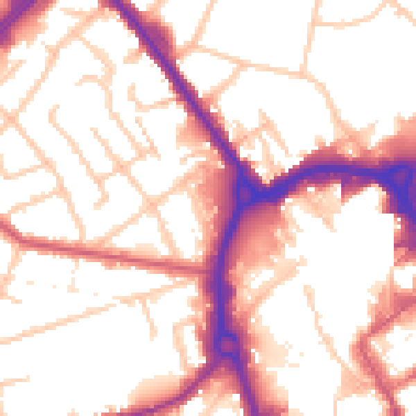
Daytime· 07:00 – 23:00
54.5dB

Night-time· 23:00 – 07:00
45.9dB