57a, Barton Avenue, Romford, RM7 0NB
About 57a
57a is a four-bedroom detached house in Romford (RM7 0NB). It has a recorded floor area of 94 m² (around 1012 sq ft) and construction records dating it to 1967-1975. The latest certificate (January 2019) shows a D (score 57), a step below the typical UK home. The recommended improvements would push it to C (score 71).
Across 1995–2021, sale prices on this property compounded at 5.6% per year. Today's modelled estimate of £470,000 is 32.4% above the 2021 sale price. On a £-per-square-foot basis, the last sale (£351/sq ft) was about 21.2% above the typical sold price in the postcode. Sold June 2021 for £355,000. That sale was during the post-pandemic price surge, when transactions cleared materially above pre-2020 trend.
What this property has
Inside
- Bedrooms4
- Bathrooms1
Everything you need to know about 57a
The true value, the hidden risks and the full sale history, in one report.
30-day money-back guarantee

The data behind every report


Energy performance
EPC Rating
Planning history
57a has no planning applications on record.
Notable planning nearby
7applications of note in the surrounding area
We flagged 1 thing worth checking at 57a
Independent checks surfaced things a buyer would want to understand before offering. The report explains each one in full, with the underlying data and what to ask.
- Signs of HMO activity in the area
30-day money-back guarantee
Sales history & valuation
Price for 57a has grown more than fourfold since the 1995 starting point.
£470,000
Modelled from EPC, postcode comparables and a sale-price growth of 5.6% per year over 26 years.
£355,000
Growth on file: 5.6% per year over 26 years.
Sales timeline
23 June 2021Most recent
£355,000
+73.2%over 15 years20 October 2005
£205,000
+138.4%over 10 years20 April 1995
£86,000
Median price across the last 5 sales in RM7 0NB: £465,000 (2025–2022).
Versus other Barton Avenue homes
Habitable Rooms for 57a runs comfortably ahead of the street norm.
Price per m²
£3,777
Street avg £4,240
Floor Area
94 m²
Street avg 84 m²
Habitable Rooms
7 rooms
Street avg 5 rooms
CO₂ Emissions
4.8 t/year
Street avg 4.2 t/year
Everything you need to know about 57a
The true value, the hidden risks and the full sale history, in one report.
30-day money-back guarantee
The data behind every report
Similar properties nearby
1 Great Cullings
RM7 0YJ
1 Jasmine Road, Rush Green
RM7 0WZ
1 Horace Avenue
RM7 0XA
1 Croxford Way
RM7 0UT
1 Foxglove Road, Rush Green
RM7 0YW
1 Leonard Avenue
RM7 0UR
1 Camomile Road, Rush Green
RM7 0WW
1 Barton Avenue
RM7 0NB
The neighbourhood at a glance
Reported crime in the wider district is trending notably upward year-on-year.
Crime
7/mo
Rising year-on-year across the wider district.
Nearest stop
0.1 km
Barton Avenue — bus stop.
Closest school
0.7 km
Robert Clack School. 43 schools nearby.
Go deeper on the local area
The full report breaks down crime, transport links, schools and air quality in depth.
Road noise across the postcode
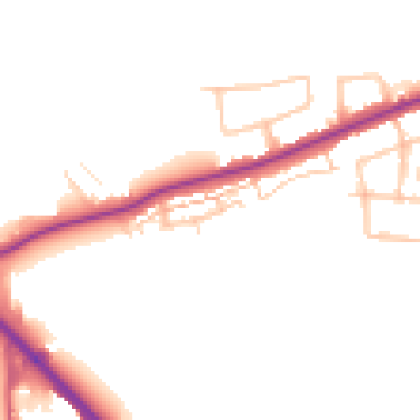
Daytime· 07:00 – 23:00
48.4dB

Night-time· 23:00 – 07:00
41.0dB