1 Recreation Avenue, Harold Wood, Romford, RM3 0TU
About 1 Recreation Avenue
1 Recreation Avenue is a property in Harold Wood, Romford, Romford (RM3 0TU). It has council tax band D.
One historical planning record sits against the property in 2019.
Energy performance
No EPC on record
This property doesn't have an Energy Performance Certificate yet. An EPC is required to sell or let — and unlocks our automated valuation.
Planning history
- Jul 2019ExtensionFullIn report
Extension: Single storey · Side and rear of property
Single storey rear / side extension.
- Documents
- 5 docs on file
- Reference
- P0806.19
Sales history & valuation
No sales recorded with HM Land Registry
That can mean the property has never traded since the registry began publishing in 1995, was a new build that hasn't been registered yet, or is held in the same hands long-term.
Median price across the last 5 sales in RM3 0TU: £447,000 (2025–2014).
Nearby sales in RM3 0TU
3a, Recreation Avenue, Harold Wood, Romford, RM3 0TU
Sold Jul 2025
£447,0004 Recreation Avenue, Harold Wood, Romford, RM3 0TU
Sold Nov 2020
£660,0003 Recreation Avenue, Harold Wood, Romford, RM3 0TU
Sold Dec 2018
£412,50015 Recreation Avenue, Harold Wood, Romford, RM3 0TU
Sold Apr 2017
£358,0002 Recreation Avenue, Harold Wood, Romford, RM3 0TU
Sold Dec 2014
£525,000
Similar properties nearby
The neighbourhood at a glance
Rail-style transport is unusually close for this postcode.
Crime
6/mo
Rising year-on-year across the wider district.
Nearest stop
0.1 km
Recreation Avenue — bus stop.
Closest school
0.3 km
Redden Court School. 25 schools nearby.
Road noise across the postcode
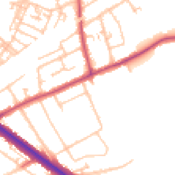
Daytime· 07:00 – 23:00
50.4dB

Night-time· 23:00 – 07:00
40.6dB