11 Blanchard Mews, Harold Wood, Romford, RM3 0GN
About 11 Blanchard Mews
11 Blanchard Mews is a property in Harold Wood, Romford, Romford (RM3 0GN). It has council tax band F.
Held since February 2001 — that's 25 years off the open market, well above the local norm. Only one transfer is on record with HM Land Registry, suggesting it has stayed in the same hands for a long time.
Know exactly what you're buying at 11 Blanchard Mews
Before you offer, see what the listing won't tell you, the true value, the red flags and the full history.
Already flagged here
Valuation
against the asking price
Risks
planning & flood
Sold prices
similar homes nearby
Trends
the local market
Energy performance
No EPC on record
This property doesn't have an Energy Performance Certificate yet. An EPC is required to sell or let — and unlocks our automated valuation.
Planning history
11 Blanchard Mews has no planning applications on record.
Notable planning nearby
6applications of note in the surrounding area
We flagged 2 things worth checking at 11 Blanchard Mews
Independent checks surfaced things a buyer would want to understand before offering. The report explains each one in full, with the underlying data and what to ask.
- Signs of HMO activity in the area
- Larger development activity nearby
30-day money-back guarantee
Sales history & valuation
£289,500
Recorded with HM Land Registry.
Sales timeline
23 February 2001Most recent
£289,500
Median price across the last 5 sales in RM3 0GN: £395,000 (2010–2001).
Nearby sales in RM3 0GN
5 Blanchard Mews, Harold Wood, Romford, RM3 0GN
Sold Apr 2010
£418,0003 Blanchard Mews, Harold Wood, Romford, RM3 0GN
Sold Mar 2010
£395,0007 Blanchard Mews, Harold Wood, Romford, RM3 0GN
Sold Mar 2004
£425,0008 Blanchard Mews, Harold Wood, Romford, RM3 0GN
Sold Apr 2001
£289,5009 Blanchard Mews, Harold Wood, Romford, RM3 0GN
Sold Apr 2001
£289,500
Everything we know about 11 Blanchard Mews, in one report
What it's really worth, what could be wrong, and the planning, sales and area data in full.
What we flagged
- Signs of HMO activity in the area
- Larger development activity nearby

Similar properties nearby
1 Amelle Gardens
RM3 0HW
1 Bridgemere Close
RM3 0LF
1 Charlock Close
RM3 0LE
1 Blanchard Mews, Harold Wood
RM3 0GN
1 Beltinge Road
RM3 0UH
1 Cane Hill, Harold Wood
RM3 0WH
1 Cavell Crescent, Harold Wood
RM3 0WL
1 Ashflower Drive
RM3 0FL
The neighbourhood at a glance
Rail-style transport is unusually close for this postcode.
Crime
6/mo
Rising year-on-year across the wider district.
Nearest stop
0.1 km
Arundel Road — bus stop.
Closest school
0.5 km
Harold Court Primary School. 18 schools nearby.
Go deeper on the local area
The full report breaks down crime, transport links, schools and air quality in depth.
Road noise across the postcode
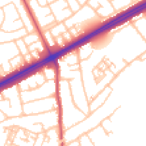
Daytime· 07:00 – 23:00
53.3dB

Night-time· 23:00 – 07:00
43.1dB