2 High Street, Sonning, Reading, RG4 6UP
About 2 High Street
2 High Street is a two-bedroom mid-terrace house in Sonning, Reading, Reading (RG4 6UP). It has a recorded floor area of 87 m² (around 936 sq ft), construction records dating it to 1900-1929 and council tax band E. The latest certificate (May 2019) shows an E (score 43), well below the UK norm with real room to improve. The recommended improvements would lift it to B (score 84), a 3-band jump. Other recorded features include outbuildings and a basement.
Last sale on file: £487,500 in May 2024. Across the public record there are 4 sales, relatively high churn for a single property. It lags the bulk of the postcode on energy efficiency (less efficient than 71% of similar EPCs). 2 bedrooms is on the smaller side for this postcode, where 4 is the typical count. Across 1999–2024, sale prices on this property compounded at 4.6% per year. On a £-per-square-foot basis, the last sale (£521/sq ft) was about 48% above the typical sold price in the postcode. One historical planning record sits against the property in 2024.
What this property has
Inside
- Bedrooms2
- Bathrooms1
- BasementYes
Outside
- Private gardenYes
- OutbuildingsYes
Building
- Central heatingYes
Everything you need to know about 2 High Street
The true value, the hidden risks and the full sale history, in one report.
Pick your report · from £14.99
One time fee only - money back guarantee

The data behind every report


Energy performance
2 High Street's carbon output runs well above what efficient homes in the postcode produce.
EPC Rating
Certificate validity
Valid until 11 May 2029

Get a survey for this property
Level 3 Building Survey
Because the property was built before 1919, has solid (non-cavity) walls, and has permanent outbuildings, we believe a Level 3 building survey should be considered.
From £1,020 · Includes VAT
Planning history
1 application on record at 2 High Street, Sonning, Reading, RG4 6UP
- May 2024RenovationAmendmentOutcome in report
Application for a certificate of lawfulness for the proposed replacement rear door, front door and sidelight. Replacement slate roof with natural slate to match existing.
- Documents
- 8 docs on file
- Reference
- 240627
Unlock 2 High Street, Sonning, Reading, RG4 6UP's full planning history
You're seeing the shape of it. The report has the substance.
- Every decision — granted, refused or withdrawn (1 on record)
- All 1 application on this property in full, plus 7 notable nearby
- The 8 documents, officer reports & conditions
- What the pattern means for extending or converting here
One time fee only - money back guarantee
Sales history & valuation
Sale price has grown by over 3x since 1999.
£490,000
Modelled from EPC, postcode comparables and a sale-price growth of 4.6% per year over 25 years.
£487,500
Growth on file: 4.6% per year over 25 years.
Sales timeline
2 May 2024Most recent
£487,500
+18.9%26 January 2024
£410,000
+43.9%over 21 years12 March 2002
£285,000
+78.2%over 2 years17 June 1999
£159,950
Median price across the last 5 sales in RG4 6UP: £532,500 (2025–2022).
Nearby sales in RG4 6UP
Holmelea, High Street, Sonning, Reading, RG4 6UP
Sold Aug 2025
£485,0006 The Mews, High Street, Sonning, Reading, RG4 6UP
Sold Mar 2025
£405,000Bow Cottage, High Street, Sonning, Reading, RG4 6UP
Sold Mar 2024
£750,000Dorey Cottage, High Street, Sonning, Reading, RG4 6UP
Sold Sept 2023
£532,5007 High Street, Sonning, Reading, RG4 6UP
Sold Mar 2022
£550,000
Versus other High Street homes
On epc rating, 2 High Street runs well behind the street norm.
Price per m²
£5,603
Street avg £5,284
Floor Area
87 m²
Street avg 110 m²
Habitable Rooms
3 rooms
Street avg 5 rooms
CO₂ Emissions
6.6 t/year
Street avg 5.2 t/year
Everything you need to know about 2 High Street
The true value, the hidden risks and the full sale history, in one report.
Pick your report · from £14.99
One time fee only - money back guarantee
The data behind every report
Similar properties nearby
1 Abbottsleigh Gardens, Caversham
RG4 6LA
1 Devon Drive, Caversham
RG4 6NT
1 Dunster Close, Caversham
RG4 6RY
1 Blackwater Close, Caversham
RG4 6NP
1 Elstow Avenue, Caversham
RG4 6RX
1 Eynsford Close, Caversham
RG4 6QX
1 Almond Drive, Caversham
RG4 6NH
1 Fairfax Close, Caversham
RG4 6DA
The neighbourhood at a glance
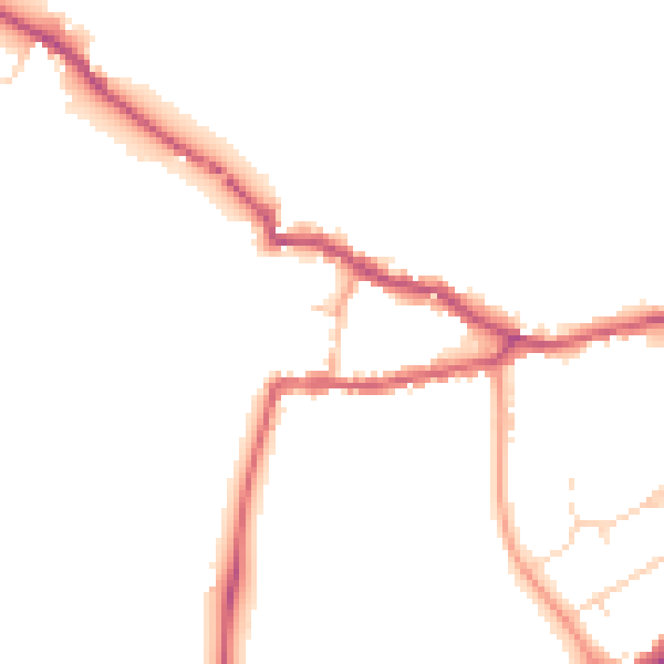
Daytime road noise here sits well below conversation level — a quiet pocket of the postcode.
Crime
134/mo
Steady year-on-year across the wider district.
Nearest stop
0.1 km
High Street — bus stop.
Closest school
0.5 km
Sonning Church of England Primary School. 12 schools nearby.
Go deeper on the local area
A Local Area report breaks down crime, transport links, schools and air quality in depth.
Road noise across the postcode
Daytime· 07:00 – 23:00
46.4dB

Night-time· 23:00 – 07:00
39.9dB