19 Charles Street, Basingstoke, RG22 6PR
About 19 Charles Street
19 Charles Street is a semi-detached house in Basingstoke (RG22 6PR). It has a recorded floor area of 82 m² (around 883 sq ft), construction records dating it to 1950-1966 and council tax band A. The latest certificate (January 2025) shows an E (score 54), well below the UK norm with real room to improve. Earlier certificates rated it C (June 2012); the latest reading is 2 bands lower. Between certificates, wall efficiency dropped from Good to Very Poor and roof efficiency dropped from Good to Very Poor. The recommended improvements would lift it to C (score 69), a 2-band jump.
On energy efficiency it sits in the bottom 10% of properties in this postcode — significant headroom for improvement.
Everything you need to know about 19 Charles Street
The true value, the hidden risks and the full sale history, in one report.
30-day money-back guarantee

The data behind every report


Energy performance
19 Charles Street sits at the bottom of the postcode for energy efficiency — meaningful headroom to improve.
EPC Rating
Planning history
19 Charles Street has no planning applications on record.
The full report still covers planning activity across the surrounding area.
Sales history & valuation
19 Charles Street has no Land Registry sales on file, suggesting it has stayed in the same hands since registration began.
£276,000
Modelled from EPC, postcode comparables.
No sales recorded with HM Land Registry
That can mean the property has never traded since the registry began publishing in 1995, was a new build that hasn't been registered yet, or is held in the same hands long-term.
Median price across the last 5 sales in RG22 6PR: £265,000 (2025–2017).
Nearby sales in RG22 6PR
26 Charles Street, Basingstoke, RG22 6PR
Sold Jul 2025
£385,00011 Charles Street, Basingstoke, RG22 6PR
Sold May 2024
£285,00010 Charles Street, Basingstoke, RG22 6PR
Sold Feb 2023
£265,00024 Charles Street, Basingstoke, RG22 6PR
Sold Feb 2020
£220,00023 Charles Street, Basingstoke, RG22 6PR
Sold Feb 2017
£210,000
Versus other Charles Street homes
On epc rating, 19 Charles Street runs well behind the street norm.
EPC Rating
54 (E)
Street avg 64 (D)
Floor Area
82 m²
Street avg 82 m²
CO₂ Emissions
5.1 t/year
Street avg 3.6 t/year
Habitable Rooms
4 rooms
Street avg 4 rooms
Everything you need to know about 19 Charles Street
The true value, the hidden risks and the full sale history, in one report.
30-day money-back guarantee
The data behind every report
Similar properties nearby
The neighbourhood at a glance
Crime
7/mo
Steady year-on-year across the wider district.
Nearest stop
0.1 km
Charles Street — bus stop.
Closest school
0.5 km
St Anne's Catholic Primary School. 33 schools nearby.
Go deeper on the local area
The full report breaks down crime, transport links, schools and air quality in depth.
Road noise across the postcode
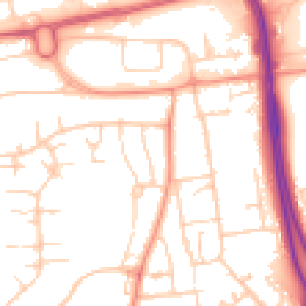
Daytime· 07:00 – 23:00
53.0dB

Night-time· 23:00 – 07:00
42.6dB