48 Elgar Close, Basingstoke, RG22 4DW
About 48 Elgar Close
48 Elgar Close is a two-bedroom property in Basingstoke (RG22 4DW). It has a recorded floor area of 64 m² (around 689 sq ft), construction records dating it to 1967-1975 and council tax band B. The latest certificate (October 2025) shows a C (score 71).
Today's modelled estimate of £227,000 is 29.7% above the 2015 sale price. On a £-per-square-foot basis, the last sale (£254/sq ft) was about 50.7% above the typical sold price in the postcode. On the market in February 2015 and unlisted since — roughly 11 years.
What this property has
Inside
- Bedrooms2
Outside
- Private gardenYes
- GarageYes
Building
- Heating systemGas
- RefurbishedYes
Everything you need to know about 48 Elgar Close
The true value, the hidden risks and the full sale history, in one report.
30-day money-back guarantee

The data behind every report


Energy performance
EPC Rating
Planning history
48 Elgar Close has no planning applications on record.
Notable planning nearby
3applications of note in the surrounding area
We flagged 1 thing worth checking at 48 Elgar Close
Independent checks surfaced things a buyer would want to understand before offering. The report explains each one in full, with the underlying data and what to ask.
- Larger development activity nearby
30-day money-back guarantee
Sales history & valuation
48 Elgar Close valuation sits well clear of the typical sold price in this postcode.
£227,000
Modelled from EPC, postcode comparables.
£175,000
Recorded with HM Land Registry.
Sales timeline
13 February 2015Most recent
£175,000
Median price across the last 5 sales in RG22 4DW: £218,600 (2025–2022).
Nearby sales in RG22 4DW
Versus other Elgar Close homes
CO₂ Emissions for 48 Elgar Close runs comfortably ahead of the street norm.
Price per m²
£2,734
Street avg £2,247
Floor Area
64 m²
Street avg 64 m²
Habitable Rooms
3 rooms
Street avg 3 rooms
CO₂ Emissions
2.2 t/year
Street avg 2.6 t/year
Everything you need to know about 48 Elgar Close
The true value, the hidden risks and the full sale history, in one report.
30-day money-back guarantee
The data behind every report
Similar properties nearby
1 Bliss Close
RG22 4EJ
1 Birches Crest, Hatch Warren
RG22 4RP
1 Barry Way
RG22 4NQ
1 Brahms Road
RG22 4JH
1 Bernstein Road
RG22 4ND
1 Berkeley Drive
RG22 4NS
1 Belfry Square, Beggarwood
RG22 4WZ
1 Beethoven Road
RG22 4BP
The neighbourhood at a glance
Crime
7/mo
Steady year-on-year across the wider district.
Nearest stop
0.2 km
Gillies Health Centre — bus stop.
Closest school
0.4 km
Brighton Hill Community School. 27 schools nearby.
Go deeper on the local area
The full report breaks down crime, transport links, schools and air quality in depth.
Road noise across the postcode
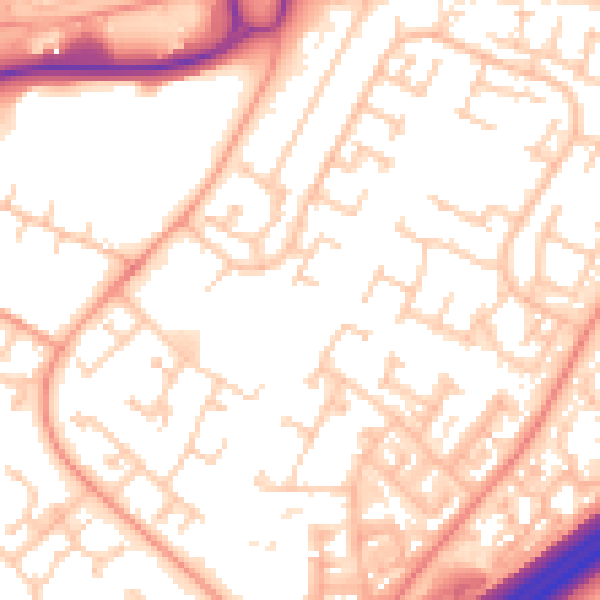
Daytime· 07:00 – 23:00
54.5dB

Night-time· 23:00 – 07:00
44.0dB