1 Deadmans Lane, Greenham, Thatcham, RG19 8XS
About 1 Deadmans Lane
1 Deadmans Lane is a property in Greenham, Thatcham, Thatcham (RG19 8XS). It has council tax band F.
Held since February 2003 — that's 23 years off the open market, well above the local norm. 2 planning records sit against the property, 2 approved, 0 refused. Past consents include a loft conversion, an extension and new windows, meaningful when judging how the property has evolved. Across 1999–2003, sale prices on this property compounded at 15.2% per year.
Know exactly what you're buying at 1 Deadmans Lane
Before you offer, see what the listing won't tell you, the true value, the red flags and the full history.
Already flagged here
Valuation
against the asking price
Risks
planning & flood
Sold prices
similar homes nearby
Trends
the local market
Energy performance
No EPC on record
This property doesn't have an Energy Performance Certificate yet. An EPC is required to sell or let — and unlocks our automated valuation.
Planning history
Planning history includes both a loft conversion and an extension — the classic family-home expansion.
- Feb 2020Loft ConversionFullIn report
Loft conversion including installation of 3 no velux rooflights to the front elevation and 2 no velux rooflights to the rear elevation to form additional habitable space
- Documents
- 11 docs on file
- Reference
- 20/00062/HOUSE
- Mar 2006ExtensionFullIn report
Extension: Single storey · Side of property
Single storey side extension and replacement of existing window with french doors to rear.
New Windows- Documents
- 6 docs on file
- Reference
- 06/00252/HOUSE
We flagged 1 thing worth checking at 1 Deadmans Lane
Independent checks surfaced things a buyer would want to understand before offering. The report explains each one in full, with the underlying data and what to ask.
- Larger development activity nearby
30-day money-back guarantee
Sales history & valuation
£317,000
Growth on file: 15.2% per year over 4 years.
Sales timeline
14 February 2003Most recent
£317,000
+73.2%over 3 years26 March 1999
£183,000
Median price across the last 5 sales in RG19 8XS: £485,000 (2023–2021).
Nearby sales in RG19 8XS
33 Deadmans Lane, Greenham, Thatcham, RG19 8XS
Sold Dec 2023
£390,00010 Deadmans Lane, Greenham, Thatcham, RG19 8XS
Sold Apr 2022
£485,00019 Deadmans Lane, Greenham, Thatcham, RG19 8XS
Sold Sept 2021
£598,00015 Deadmans Lane, Greenham, Thatcham, RG19 8XS
Sold Jun 2021
£575,00029 Deadmans Lane, Greenham, Thatcham, RG19 8XS
Sold Feb 2021
£412,000
Everything we know about 1 Deadmans Lane, in one report
What it's really worth, what could be wrong, and the planning, sales and area data in full.
What we flagged
- Larger development activity nearby

Similar properties nearby
1 East View, Thornford Road, Headley
RG19 8AD
1 Coombe Barns, Crookham Common Road, Crookham Common
RG19 8BP
1 Browns Walk, Greenham
RG19 8FF
1 Benham Lane, Ashford Hill
RG19 8FG
1 Capability Way, Greenham
RG19 8FA
1 Elm Cottages, Crookham Common Road, Crookham
RG19 8BS
1 Galahad Way, Greenham
RG19 8FL
1 Harrow Drive, Headley
RG19 8FH
The neighbourhood at a glance
Daytime road noise here sits well below conversation level — a quiet pocket of the postcode.
Crime
3/mo
Steady year-on-year across the wider district.
Nearest stop
0.1 km
Highwood Copse Way — bus stop.
Closest school
0.3 km
Highwood Copse Primary School. 12 schools nearby.
Go deeper on the local area
The full report breaks down crime, transport links, schools and air quality in depth.
Road noise across the postcode
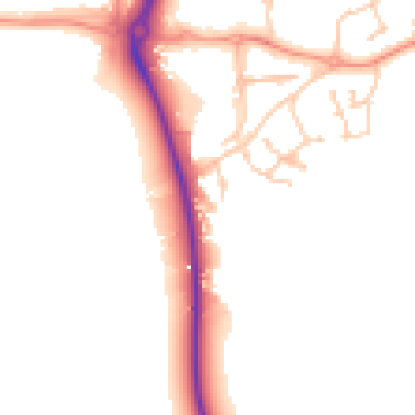
Daytime· 07:00 – 23:00
49.8dB

Night-time· 23:00 – 07:00
41.8dB