Thompson Lodge, Chesterfield Road, Newbury, RG14 7QB
About Thompson Lodge
Thompson Lodge is a detached house in Newbury (RG14 7QB). It has a recorded floor area of 180 m² (around 1938 sq ft), construction records dating it to 1996-2002 and council tax band G. The latest certificate (November 2013) shows a C (score 73). The recommended improvements would push it to B (score 81). The latest certificate is from November 2013, so improvements made since then won't be reflected.
4 planning records sit against the property, 3 approved, 0 refused. Past consents include an extension, meaningful when judging how the property has evolved. At 180 m² it's 24.9% larger than the typical home in the postcode (144 m² median across 18 EPCs). Its energy rating outperforms most of the postcode (better than 78% of similar EPCs). 12 years since the last transfer (April 2014). Across 1996–2014, sale prices on this property compounded at 7.2% per year. Today's modelled estimate of £702,000 is 22.1% above the 2014 sale price.
Know exactly what you're buying at Thompson Lodge
Before you offer, see what the listing won't tell you, the true value, the red flags and the full history.
Valuation
against the asking price
Risks
planning & flood
Sold prices
similar homes nearby
Trends
the local market
Energy performance
Thompson Lodge's EPC is over a decade old — improvements since won't be reflected.
EPC Expired
This certificate is over 10 years old and is no longer valid.Expired 13 Nov 2023
EPC Rating
Planning history
Thompson Lodge has 2 separate extension applications on the council record.
- Jul 2021Tree WorksTreesIn report
T1- Cherry Plum: Prunus cerasifera. Reduction in height by 3m to leave a remaining height of 5m. T2- European Beech: Fagus sylvatica purpurea. Reduction in height by 3m and limited reduction in width to leave a height of 5.5m. T3- Black Locust: Robinia pseudoacacia. Reduction all around by 3m to leave a height of 5.5m. T5- Mixed Hedgerow: Reduction in size of Mixed hedgerow, including T4- large Laurel: Prunus laurocerasus 'Rotundifolia to be replaced by pleached Beech Trees or equivalent along with raised beds and shrub border. T6- Beech: Fagus sylvatica. Reduction in height by 4m and reduction in width by 1.5m around, leaving a residual height of 7m, due to excessive shading, restriction of sunlight and encroachment into the property. T7- Damson Plum Tree- Removal
- Documents
- 6 docs on file
- Reference
- 21/01110/TPC
- May 2021ExtensionFullIn report
Extension: Single storey · Rear of property
First floor rear extension and expansion of windows on the east and north elevations
- Documents
- 10 docs on file
- Reference
- 21/00685/HOUSE
What's in Thompson Lodge, Chesterfield Road, Newbury, RG14 7QB's planning history?
2 more on this property, plus refusals, disputes and full decisions nearby, in the report.
Sales history & valuation
Sale price has grown by over 3x since 1996.
£702,000
Modelled from EPC, postcode comparables and a sale-price growth of 7.2% per year over 18 years.
£575,000
Growth on file: 7.2% per year over 18 years.
Sales timeline
9 April 2014Most recent
£575,000
+25.8%over 8 years28 July 2005
£457,000
+175.3%over 9 years2 May 1996
£166,000
Median price across the last 5 sales in RG14 7QB: £660,000 (2025–2021).
Nearby sales in RG14 7QB
Cedars, Chesterfield Road, Newbury, RG14 7QB
Sold Jul 2025
£660,00022 Chesterfield Road, Newbury, RG14 7QB
Sold May 2025
£585,0003 Chesterfield Road, Newbury, RG14 7QB
Sold Oct 2023
£820,0007 Chesterfield Road, Newbury, RG14 7QB
Sold Mar 2023
£812,00018 Chesterfield Road, Newbury, RG14 7QB
Sold Jun 2021
£530,000
Everything we know about Thompson Lodge, in one report
What it's really worth, what could be wrong, and the planning, sales and area data in full.
- Am I paying too much?
- Is something wrong with it?
- Is the agent's story true?
- Will it hold its value?

Versus other Chesterfield Road homes
EPC Rating for Thompson Lodge runs comfortably ahead of the street norm.
Price per m²
£3,194
Street avg £3,540
Floor Area
180 m²
Street avg 148 m²
Habitable Rooms
11 rooms
Street avg 7 rooms
CO₂ Emissions
4.7 t/year
Street avg 8.8 t/year
Similar properties nearby
The neighbourhood at a glance
Rail-style transport is unusually close for this postcode.
Crime
12/mo
Falling year-on-year across the wider district.
Nearest stop
0.1 km
Porchester Road — bus stop.
Closest school
0.3 km
St John the Evangelist CofE Infant and Nursery School. 18 schools nearby.
Go deeper on the local area
The full report breaks down crime, transport links, schools and air quality in depth.
Road noise across the postcode
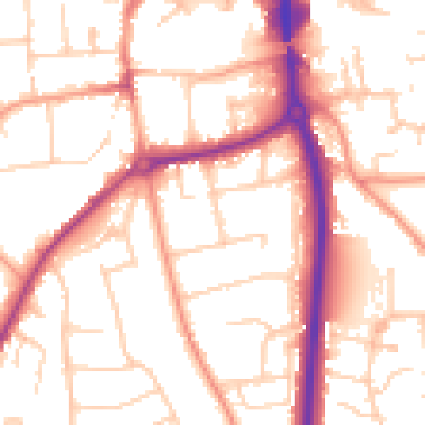
Daytime· 07:00 – 23:00
53.5dB

Night-time· 23:00 – 07:00
43.9dB