1 Boxshall Court, Pound Street, Newbury, RG14 6BP
About 1 Boxshall Court
1 Boxshall Court is a one-bedroom end-of-terrace house in Newbury (RG14 6BP). It has a recorded floor area of 38 m² (around 409 sq ft) and council tax band B. At 38 m² this is the 4th smallest of 7 units on EPC record in the building, where floor areas span 17–43 m². The building's EPC ratings span D to C, with this unit at the top. Other recorded features include a balcony. The latest certificate (October 2014) shows a C (score 70). Main heating runs on electricity: electricity, unspecified tariff. The latest certificate is from October 2014, so improvements made since then won't be reflected.
1 bedrooms is on the smaller side for this postcode, where 3 is the typical count. Sold October 2018 for £150,000.
Know exactly what you're buying at 1 Boxshall Court
Before you offer, see what the listing won't tell you, the true value, the red flags and the full history.
Valuation
against the asking price
Risks
planning & flood
Sold prices
similar homes nearby
Trends
the local market
What this property has
Inside
- Bedrooms1
- Bathrooms1
- FireplaceYes
Outside
- GarageYes
- BalconyYes
Building
- RefurbishedYes
Energy performance
1 Boxshall Court's carbon output is low for the local stock.
EPC Expired
This certificate is over 10 years old and is no longer valid.Expired 02 Oct 2024
EPC Rating
Planning history
1 Boxshall Court has no planning applications on record.
The full report still covers planning activity across the surrounding area.
Sales history & valuation
£147,000
Modelled from EPC, postcode comparables.
£150,000
Recorded with HM Land Registry.
Sales timeline
15 October 2018Most recent
£150,000
Median price across the last 5 sales in RG14 6BP: £150,000 (2025–2017).
Nearby sales in RG14 6BP
8 Boxshall Court, Pound Street, Newbury, RG14 6BP
Sold Mar 2025
£95,0002 Boxshall Court, Pound Street, Newbury, RG14 6BP
Sold Oct 2021
£150,0003 Boxshall Court, Pound Street, Newbury, RG14 6BP
Sold Mar 2021
£150,0006 Boxshall Court, Pound Street, Newbury, RG14 6BP
Sold Sept 2017
£147,5007 Boxshall Court, Pound Street, Newbury, RG14 6BP
Sold Aug 2017
£180,000
Everything we know about 1 Boxshall Court, in one report
What it's really worth, what could be wrong, and the planning, sales and area data in full.
- Am I paying too much?
- Is something wrong with it?
- Is the agent's story true?
- Will it hold its value?

Versus other Pound Street homes
Price per m²
£3,947
Street avg £4,386
Floor Area
38 m²
Street avg 35 m²
CO₂ Emissions
1.5 t/year
Street avg 1.5 t/year
Years Held
8 years
Street avg 6 years
Similar properties nearby
The neighbourhood at a glance
Rail-style transport is unusually close for this postcode.
Crime
12/mo
Falling year-on-year across the wider district.
Nearest stop
0.0 km
Argyle Road — bus stop.
Closest school
0.2 km
St Nicolas C.E. Junior School. 18 schools nearby.
Go deeper on the local area
The full report breaks down crime, transport links, schools and air quality in depth.
Road noise across the postcode
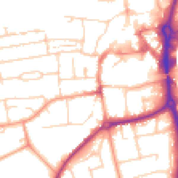
Daytime· 07:00 – 23:00
52.4dB

Night-time· 23:00 – 07:00
42.5dB