19 Braunfels Walk, Newbury, RG14 5NQ
About 19 Braunfels Walk
19 Braunfels Walk is a property in Newbury (RG14 5NQ). It has council tax band C.
Untraded for 26 years, with the last transfer in February 2000. Only one transfer is on record with HM Land Registry, suggesting it has stayed in the same hands for a long time.
Know exactly what you're buying at 19 Braunfels Walk
Before you offer, see what the listing won't tell you, the true value, the red flags and the full history.
Already flagged here
Valuation
against the asking price
Risks
planning & flood
Sold prices
similar homes nearby
Trends
the local market
Energy performance
No EPC on record
This property doesn't have an Energy Performance Certificate yet. An EPC is required to sell or let — and unlocks our automated valuation.
Planning history
19 Braunfels Walk has no planning applications on record.
Notable planning nearby
9applications of note in the surrounding area
We flagged 2 things worth checking at 19 Braunfels Walk
Independent checks surfaced things a buyer would want to understand before offering. The report explains each one in full, with the underlying data and what to ask.
- Signs of HMO activity in the area
- Larger development activity nearby
30-day money-back guarantee
Sales history & valuation
£79,500
Recorded with HM Land Registry.
Sales timeline
18 February 2000Most recent
£79,500
Median price across the last 5 sales in RG14 5NQ: £430,000 (2025–2022).
Nearby sales in RG14 5NQ
Everything we know about 19 Braunfels Walk, in one report
What it's really worth, what could be wrong, and the planning, sales and area data in full.
What we flagged
- Signs of HMO activity in the area
- Larger development activity nearby

Similar properties nearby
1 Ashton Road
RG14 5RJ
1 Bagnols Way
RG14 5NA
1 Barnes Terrace, St Michaels Road
RG14 5PT
1 Bartholomew Street
RG14 5LL
1 Berkeley Road
RG14 5JE
1 Blueberry Court, Oddfellows Road
RG14 5AX
1 Braunfels Walk
RG14 5NQ
1 Butson Close
RG14 5JQ
The neighbourhood at a glance
Daytime road noise here sits well below conversation level — a quiet pocket of the postcode.
Crime
12/mo
Falling year-on-year across the wider district.
Nearest stop
0.2 km
Green Lane — bus stop.
Closest school
0.7 km
St Bartholomew's School. 17 schools nearby.
Go deeper on the local area
The full report breaks down crime, transport links, schools and air quality in depth.
Road noise across the postcode
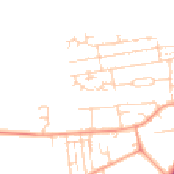
Daytime· 07:00 – 23:00
47.8dB

Night-time· 23:00 – 07:00
39.2dB