25 Claremont Crescent, Newbury, RG14 2FF
About 25 Claremont Crescent
25 Claremont Crescent is a three-bedroom semi-detached house in Newbury (RG14 2FF). It has a recorded floor area of 83 m² (around 893 sq ft), construction records dating it to 2003-2006 and council tax band D. The latest certificate (April 2018) shows a C (score 70). The recommended improvements would push it to B (score 88).
Across 2004–2018, sale prices on this property compounded at 3.7% per year. Today's modelled estimate of £407,000 is 21.5% above the 2018 sale price. On a £-per-square-foot basis, the last sale (£375/sq ft) was about 40.1% above the typical sold price in the postcode. Sold July 2018 for £335,000.
Know exactly what you're buying at 25 Claremont Crescent
Before you offer, see what the listing won't tell you, the true value, the red flags and the full history.
Already flagged here
Valuation
against the asking price
Risks
planning & flood
Sold prices
similar homes nearby
Trends
the local market
What this property has
Inside
- Bedrooms3
- Bathrooms2
- Dining roomYes
- CloakroomYes
- EnsuiteYes
Outside
- Private gardenWest-facing
- GarageYes
Building
- Heating systemGas
- RefurbishedYes
Energy performance
EPC Rating
Planning history
25 Claremont Crescent has no planning applications on record.
Notable planning nearby
2applications of note in the surrounding area
We flagged 1 thing worth checking at 25 Claremont Crescent
Independent checks surfaced things a buyer would want to understand before offering. The report explains each one in full, with the underlying data and what to ask.
- Larger development activity nearby
30-day money-back guarantee
Sales history & valuation
25 Claremont Crescent valuation sits well clear of the typical sold price in this postcode.
£407,000
Modelled from EPC, postcode comparables and a sale-price growth of 3.7% per year over 14 years.
£335,000
Growth on file: 3.7% per year over 14 years.
Sales timeline
17 July 2018Most recent
£335,000
+68.3%over 14 years12 March 2004
£199,000
Median price across the last 5 sales in RG14 2FF: £410,000 (2025–2023).
Nearby sales in RG14 2FF
33 Claremont Crescent, Newbury, RG14 2FF
Sold May 2025
£375,00023 Claremont Crescent, Newbury, RG14 2FF
Sold Dec 2024
£410,0007 Claremont Crescent, Newbury, RG14 2FF
Sold Dec 2023
£375,00047 Claremont Crescent, Newbury, RG14 2FF
Sold Mar 2023
£410,00049 Claremont Crescent, Newbury, RG14 2FF
Sold Mar 2023
£415,000
Everything we know about 25 Claremont Crescent, in one report
What it's really worth, what could be wrong, and the planning, sales and area data in full.
What we flagged
- Larger development activity nearby

Versus other Claremont Crescent homes
Price per m²
£4,036
Street avg £3,878
Floor Area
83 m²
Street avg 86 m²
Habitable Rooms
5 rooms
Street avg 5 rooms
CO₂ Emissions
2.9 t/year
Street avg 2.8 t/year
Similar properties nearby
1 Claremont Crescent
RG14 2FF
1 Ashwood Drive
RG14 2PN
1 Cromwell Road
RG14 2HP
1 Clayhill Crescent
RG14 2NP
1 Coach House Mews, Donnington Park, Donnington
RG14 2EP
1 Ascott Way
RG14 2FH
1 Desborough Close
RG14 2RN
1 Alexandra Cottages, Castle Lane, Donnington
RG14 2JS
The neighbourhood at a glance
Rail-style transport is unusually close for this postcode.
Crime
12/mo
Falling year-on-year across the wider district.
Nearest stop
0.2 km
Birchwood Road — bus stop.
Closest school
0.5 km
Fir Tree Primary School and Nursery. 15 schools nearby.
Go deeper on the local area
The full report breaks down crime, transport links, schools and air quality in depth.
Road noise across the postcode
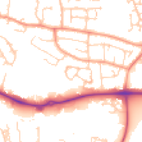
Daytime· 07:00 – 23:00
52.2dB

Night-time· 23:00 – 07:00
42.4dB