10 Norwood Avenue, Southport, PR9 7DT
About 10 Norwood Avenue
10 Norwood Avenue is a four-bedroom detached house in Southport (PR9 7DT). It has a recorded floor area of 204 m² (around 2196 sq ft), construction records dating it to before 1900 and council tax band E. The latest certificate (November 2013) shows an F (score 32), near the bottom of the EPC scale. Earlier certificates rated it D (August 2012); the latest reading is 2 bands lower. Between certificates, wall efficiency dropped from Poor to Very Poor and roof efficiency dropped from Good to Very Poor. The recommended improvements would lift it to C (score 73), a 3-band jump. The latest certificate is from November 2013, so improvements made since then won't be reflected. Other recorded features include a basement.
At 204 m² the property is well over the postcode median (55 m² across 34 EPCs), placing it in the larger end of the local stock. On energy efficiency it sits in the bottom 10% of properties in this postcode — significant headroom for improvement. Most recent transfer: December 2020 at £400,000. Across the public record there are 4 sales, relatively high churn for a single property. Across 1999–2020, sale prices on this property compounded at 5% per year. Today's modelled estimate of £482,000 is 20.5% above the 2020 sale price. One historical planning record sits against the property in 2001.
What this property has
Inside
- Bedrooms4
- Bathrooms4
- Utility roomYes
- EnsuiteYes
- BasementYes
Outside
- Private gardenYes
- DrivewayYes
Everything you need to know about 10 Norwood Avenue
The true value, the hidden risks and the full sale history, in one report.
Pick your report · from £14.99
One time fee only - money back guarantee
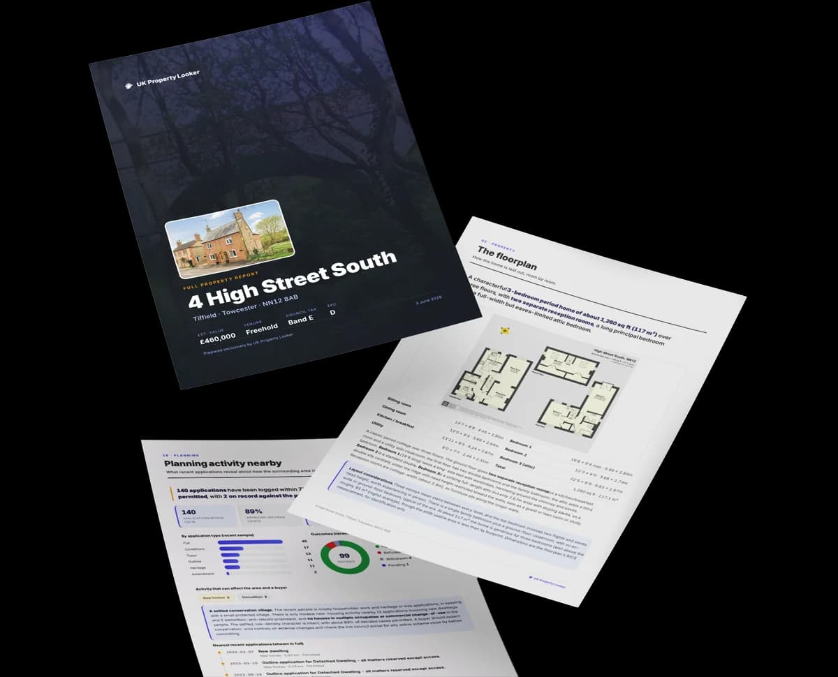
The data behind every report


Energy performance
10 Norwood Avenue sits at the bottom of the postcode for energy efficiency — meaningful headroom to improve.
EPC Expired
This certificate is over 10 years old and is no longer valid.Expired 03 Nov 2023
EPC Rating
Certificate validity
Expired on 3 November 2023

Get a survey for this property
Level 3 Building Survey
Because the property was built before 1919, we believe a Level 3 building survey should be considered.
From £1,020 · Includes VAT
Planning history
1 application on record at 10 Norwood Avenue, Southport, PR9 7DT
- Mar 2001OutbuildingFullOutcome in report
Erection of a detached single storey building to the rear to be used as a boarding cattery
- Reference
- N/2001/0125
Unlock 10 Norwood Avenue, Southport, PR9 7DT's full planning history
You're seeing the shape of it. The report has the substance.
- Every decision — granted, refused or withdrawn (1 on record)
- All 1 application on this property in full, plus 1 notable nearby
- What the pattern means for extending or converting here
One time fee only - money back guarantee
Sales history & valuation
10 Norwood Avenue has more than doubled in price since the earliest registered sale in 1999.
£482,000
Modelled from EPC, postcode comparables and a sale-price growth of 5.0% per year over 22 years.
£400,000
Growth on file: 5.0% per year over 22 years.
Sales timeline
18 December 2020Most recent
£400,000
+19.4%over 2 years16 March 2018
£335,000
+12.8%over 12 years23 June 2005
£297,000
+112.1%over 6 years17 June 1999
£140,000
Median price across the last 5 sales in PR9 7DT: £400,000 (2026–2020).
Nearby sales in PR9 7DT
Versus other Norwood Avenue homes
EPC Rating for 10 Norwood Avenue lags the street by a wide margin.
Price per m²
£1,961
Street avg £2,248
Floor Area
204 m²
Street avg 220 m²
Habitable Rooms
8 rooms
Street avg 8 rooms
CO₂ Emissions
15.0 t/year
Street avg 11.1 t/year
Everything you need to know about 10 Norwood Avenue
The true value, the hidden risks and the full sale history, in one report.
Pick your report · from £14.99
One time fee only - money back guarantee
The data behind every report
Similar properties nearby
1 Bibby Road
PR9 7PT
1 Farm Close, Churchtown
PR9 7QB
1 Beresford Drive
PR9 7JY
1 Blair Grove
PR9 7BH
1 Bamber Gardens
PR9 7PQ
1 Beresford Gardens
PR9 7NU
1 Beech Grove
PR9 7EE
1 Churchgate Mews, Bibby Road
PR9 7PS
The neighbourhood at a glance
Rail-style transport is unusually close for this postcode.
Crime
250/mo
Steady year-on-year across the wider district.
Nearest stop
0.1 km
Norwood Avenue — bus stop.
Closest school
0.3 km
Holy Family Catholic Primary School. 15 schools nearby.
Go deeper on the local area
A Local Area report breaks down crime, transport links, schools and air quality in depth.
Road noise across the postcode
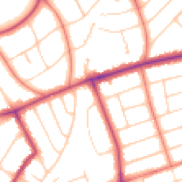
Daytime· 07:00 – 23:00
51.5dB

Night-time· 23:00 – 07:00
41.5dB