10 Cornwall Way, Southport, PR8 3SG
About 10 Cornwall Way
10 Cornwall Way is a three-bedroom detached house in Southport (PR8 3SG). It has a recorded floor area of 117 m² (around 1259 sq ft), construction records dating it to 1950-1966 and council tax band D. The latest certificate (December 2017) shows a D (score 64), on the cusp of jumping into the C band. The recommended improvements would push it to C (score 78).
A recent sale: £365,000 in July 2025. Across 2018–2025, sale prices on this property compounded at 5.7% per year. On a £-per-square-foot basis, the last sale (£290/sq ft) was about 48.6% above the typical sold price in the postcode.
What this property has
Inside
- Bedrooms3
- Bathrooms2
Everything you need to know about 10 Cornwall Way
The true value, the hidden risks and the full sale history, in one report.
Pick your report · every report is £14.99
One time fee only - money back guarantee

The data behind every report


Energy performance
EPC Rating
Get a survey for this property
Level 3 Building Survey
Because the property has been extended more than once, we believe a Level 3 building survey should be considered.
From £955 · Includes VAT
Planning history
10 Cornwall Way has no planning applications on record.
A planning report still maps activity across the surrounding area and reads this property's extension & conversion potential.
Sales history & valuation
10 Cornwall Way valuation sits well clear of the typical sold price in this postcode.
£374,000
Modelled from EPC, postcode comparables and a sale-price growth of 5.7% per year over 7 years.
£365,000
Growth on file: 5.7% per year over 7 years.
Sales timeline
7 July 2025Most recent
£365,000
+49.0%over 7 years14 May 2018
£245,000
Median price across the last 5 sales in PR8 3SG: £390,000 (2025–2022).
Nearby sales in PR8 3SG
Versus other Cornwall Way homes
Habitable Rooms for 10 Cornwall Way runs comfortably ahead of the street norm.
Price per m²
£3,120
Street avg £2,385
Floor Area
117 m²
Street avg 112 m²
Habitable Rooms
7 rooms
Street avg 5 rooms
CO₂ Emissions
5.1 t/year
Street avg 5.3 t/year
Everything you need to know about 10 Cornwall Way
The true value, the hidden risks and the full sale history, in one report.
Pick your report · every report is £14.99
One time fee only - money back guarantee
The data behind every report
Similar properties nearby
The neighbourhood at a glance
Crime
4/mo
Steady year-on-year across the wider district.
Nearest stop
0.2 km
Vale Crescent — bus stop.
Closest school
0.3 km
Kings Meadow Primary School and Early Years Education Centre. 5 schools nearby.
Go deeper on the local area
A Local Area report breaks down crime, transport links, schools and air quality in depth.
Road noise across the postcode
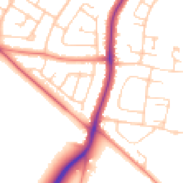
Daytime· 07:00 – 23:00
52.1dB

Night-time· 23:00 – 07:00
42.3dB