1 Eldons Croft, Ainsdale, Southport, PR8 3LZ
About 1 Eldons Croft
1 Eldons Croft is a four-bedroom detached house in Ainsdale, Southport, Southport (PR8 3LZ). It has a recorded floor area of 152 m² (around 1636 sq ft), construction records dating it to 1991-1995 and council tax band E. Tenure is freehold. The latest certificate (February 2023) shows a C (score 70). When first surveyed in April 2012 the rating was E, the property has climbed 2 bands since. Between certificates, hot-water efficiency went from Average to Good and lighting went from Average to Very Good. The home occupies a cul-de-sac position.
Across 1995–2023, sale prices on this property compounded at 4.3% per year. Today's modelled estimate of £398,000 is 12.9% above the 2023 sale price. Last sale on file: £352,500 in June 2023.
What this property has
Inside
- Bedrooms4
- Utility roomYes
- CloakroomYes
- EnsuiteYes
Outside
- Private gardenYes
- Cul-de-sacYes
Building
- TenureFreehold
- RefurbishedYes
Everything you need to know about 1 Eldons Croft
The true value, the hidden risks and the full sale history, in one report.
Pick your report · every report is £14.99
One time fee only - money back guarantee

The data behind every report


Energy performance
EPC Rating
Property Improvements
Changes detected from historical EPC data
Hot water efficiency improved
More low energy lighting installed
Get a survey for this property
Level 2 HomeBuyer Report
We've checked 10 risk factors against the available data for this property and believe a Level 2 HomeBuyer Report could be a suitable option for you.
From £595 · Includes VAT
Planning history
1 Eldons Croft has no planning applications on record.
A planning report still maps activity across the surrounding area and reads this property's extension & conversion potential.
Sales history & valuation
Latest sale on 1 Eldons Croft was the highest on Land Registry record across the postcode.
£398,000
Modelled from EPC, postcode comparables and a sale-price growth of 4.3% per year over 28 years.
£352,500
Growth on file: 4.3% per year over 28 years.
Sales timeline
22 June 2023Most recent
£352,500
+56.7%over 9 years1 July 2013
£225,000
+80.0%over 13 years12 June 2000
£125,000
+14.4%over 4 years24 September 1995
£109,300
Median price across the last 5 sales in PR8 3LZ: £138,000 (2006–1997).
Everything you need to know about 1 Eldons Croft
The true value, the hidden risks and the full sale history, in one report.
Pick your report · every report is £14.99
One time fee only - money back guarantee
The data behind every report
Similar properties nearby
The neighbourhood at a glance
Rail-style transport is unusually close for this postcode.
Crime
4/mo
Steady year-on-year across the wider district.
Nearest stop
0.1 km
Liverpool Road — bus stop.
Closest school
0.1 km
Ainsdale St John's Church of England Primary School. 8 schools nearby.
Go deeper on the local area
A Local Area report breaks down crime, transport links, schools and air quality in depth.
Road noise across the postcode
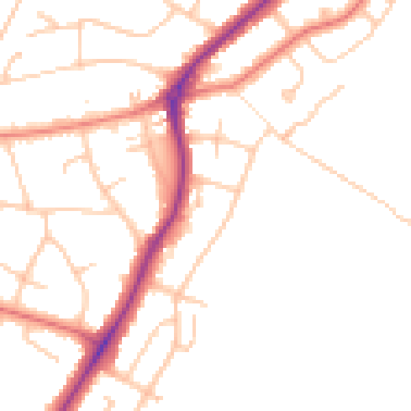
Daytime· 07:00 – 23:00
48.1dB

Night-time· 23:00 – 07:00
39.6dB