3a, Chesterfield Road, Southport, PR8 3JP
About 3a
3a is a two-bedroom end-of-terrace house in Southport (PR8 3JP). It has a recorded floor area of 71 m² (around 764 sq ft), construction records dating it to 1930-1949 and council tax band B. The latest certificate (June 2024) shows a C (score 70). When first surveyed in July 2022 the rating was E, the property has climbed 2 bands since. Between certificates, roof efficiency went from Very Poor to Good, hot-water efficiency went from Average to Good and lighting went from Good to Very Good. The recommended improvements would push it to B (score 86).
At 71 m² it sits well below the postcode median (130 m² across 10 EPCs), making it one of the more compact homes locally. Its energy rating outperforms most of the postcode (better than 70% of similar EPCs). Across 1996–2024, sale prices on this property compounded at 6% per year. On a £-per-square-foot basis, the last sale (£283/sq ft) was about 78.6% above the typical sold price in the postcode. Most recent transfer: September 2024 at £216,500.
What this property has
Inside
- Bedrooms2
- Bathrooms1
- Open-plan layoutYes
- Dining roomYes
Outside
- Private gardenRear
- DrivewayYes
Building
- RefurbishedYes
Everything you need to know about 3a
The true value, the hidden risks and the full sale history, in one report.
Pick your report · every report is £14.99
One time fee only - money back guarantee

The data behind every report


Energy performance
EPC Rating
Property Improvements
Changes detected from historical EPC data
Hot water efficiency improved
Roof insulation improved
More low energy lighting installed
Get a survey for this property
Level 2 HomeBuyer Report
We've checked 10 risk factors against the available data for this property and believe a Level 2 HomeBuyer Report could be a suitable option for you.
From £545 · Includes VAT
Planning history
3a has no planning applications on record.
A planning report still maps activity across the surrounding area and reads this property's extension & conversion potential.
Sales history & valuation
3a has more than quadrupled in price since its earliest registered sale in 1996.
£235,000
Modelled from EPC, postcode comparables and a sale-price growth of 6.0% per year over 29 years.
£216,500
Growth on file: 6.0% per year over 29 years.
Sales timeline
26 September 2024Most recent
£216,500
+80.4%over 1 year10 March 2023
£120,000
+192.7%over 27 years4 March 1996
£41,000
Median price across the last 5 sales in PR8 3JP: £250,000 (2023–2018).
Nearby sales in PR8 3JP
3 Chesterfield Road, Southport, PR8 3JP
Sold Jan 2023
£280,0006 Chesterfield Road, Southport, PR8 3JP
Sold Sept 2020
£250,0008 Chesterfield Road, Southport, PR8 3JP
Sold Sept 2019
£325,0005 Chesterfield Road, Southport, PR8 3JP
Sold Feb 2018
£198,0002 Chesterfield Road, Southport, PR8 3JP
Sold Oct 2011
£124,999
Versus other Chesterfield Road homes
Price per m² for 3a runs comfortably ahead of the street norm.
Price per m²
£3,049
Street avg £1,916
Floor Area
71 m²
Street avg 145 m²
Habitable Rooms
3 rooms
Street avg 7 rooms
CO₂ Emissions
2.8 t/year
Street avg 5.8 t/year
Everything you need to know about 3a
The true value, the hidden risks and the full sale history, in one report.
Pick your report · every report is £14.99
One time fee only - money back guarantee
The data behind every report
Similar properties nearby
The neighbourhood at a glance
Rail-style transport is unusually close for this postcode.
Crime
4/mo
Steady year-on-year across the wider district.
Nearest stop
0.1 km
Ainsdale Rail Station — railway station.
Closest school
0.7 km
Ainsdale St John's Church of England Primary School. 8 schools nearby.
Go deeper on the local area
A Local Area report breaks down crime, transport links, schools and air quality in depth.
Road noise across the postcode
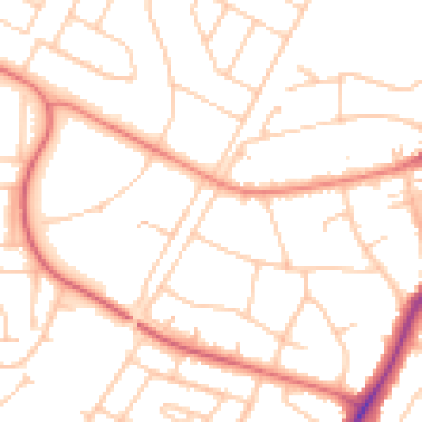
Daytime· 07:00 – 23:00
50.8dB

Night-time· 23:00 – 07:00
40.5dB