106a, Station Road, Ainsdale, Southport, PR8 3HL
About 106a
106a is a semi-detached house in Ainsdale, Southport, Southport (PR8 3HL). It has a recorded floor area of 87 m² (around 936 sq ft), construction records dating it to before 1900 and council tax band A. At 87 m² this is the 7th smallest of 8 units on EPC record in the building, where floor areas span 41–155 m². The building's EPC ratings span D to C, with this unit at the bottom. The latest certificate (August 2024) shows a D (score 67), on the cusp of jumping into the C band. The recommended improvements would push it to C (score 73).
Today's modelled estimate of £151,000 is 20.5% below the 2019 sale of £190,000, a rare downward gap that often correlates with deferred maintenance or unfinished works. On a £-per-square-foot basis, the last sale (£203/sq ft) was about 37.1% above the typical sold price in the postcode. At 87 m² it's 20.8% larger than the typical home in the postcode (72 m² median across 7 EPCs). Last sale on file: £190,000 in October 2019.
Everything you need to know about 106a
The true value, the hidden risks and the full sale history, in one report.
Pick your report · every report is £14.99
One time fee only - money back guarantee

The data behind every report


Energy performance
EPC Rating
Get a survey for this property
Level 3 Building Survey
Because the property was built before 1919 and has solid (non-cavity) walls, we believe a Level 3 building survey should be considered.
From £820 · Includes VAT
Planning history
106a has no planning applications on record.
A planning report still maps activity across the surrounding area and reads this property's extension & conversion potential.
Sales history & valuation
£151,000
Modelled from EPC, postcode comparables.
£190,000
Recorded with HM Land Registry.
Sales timeline
6 October 2019Most recent
£190,000
Median price across the last 5 sales in PR8 3HL: £145,000 (2021–2001).
Nearby sales in PR8 3HL
104a, Station Road, Ainsdale, Southport, PR8 3HL
Sold Feb 2021
£215,000102a, Station Road, Ainsdale, Southport, PR8 3HL
Sold Jul 2006
£150,000112a, Station Road, Ainsdale, Southport, PR8 3HL
Sold Jul 2003
£145,000116a, Station Road, Ainsdale, Southport, PR8 3HL
Sold Nov 2002
£60,000120a, Station Road, Ainsdale, Southport, PR8 3HL
Sold Dec 2001
£87,500
Versus other Station Road homes
On floor area, 106a stands well clear of the street.
Price per m²
£2,184
Street avg £1,857
Floor Area
87 m²
Street avg 66 m²
Habitable Rooms
4 rooms
Street avg 3 rooms
CO₂ Emissions
3.5 t/year
Street avg 3.1 t/year
Everything you need to know about 106a
The true value, the hidden risks and the full sale history, in one report.
Pick your report · every report is £14.99
One time fee only - money back guarantee
The data behind every report
Similar properties nearby
The neighbourhood at a glance
Rail-style transport is unusually close for this postcode.
Crime
4/mo
Steady year-on-year across the wider district.
Nearest stop
0.0 km
Ainsdale Station — bus stop.
Closest school
0.7 km
Ainsdale St John's Church of England Primary School. 8 schools nearby.
Go deeper on the local area
A Local Area report breaks down crime, transport links, schools and air quality in depth.
Road noise across the postcode
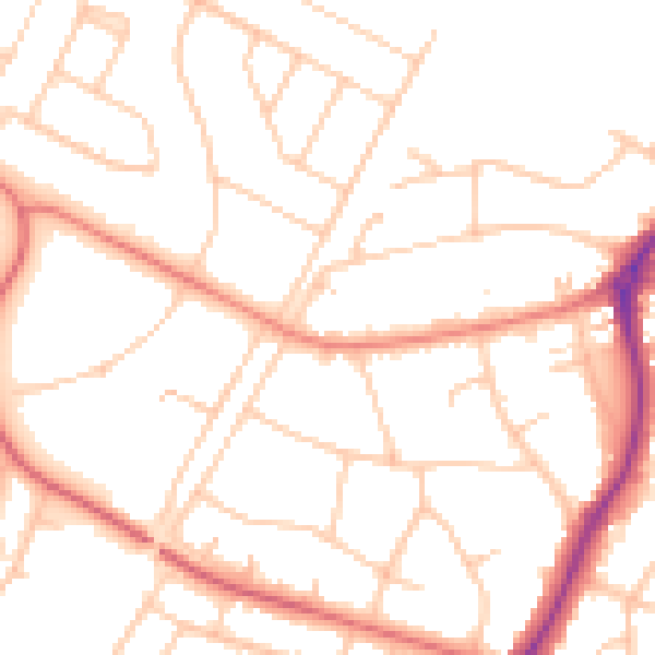
Daytime· 07:00 – 23:00
50.5dB

Night-time· 23:00 – 07:00
40.5dB