Flat 1, 25 Talbot Street, Southport, PR8 1HP
About Flat 1
Flat 1 is a one-bedroom mid-terrace house in Southport (PR8 1HP). It has a recorded floor area of 43 m² (around 463 sq ft), construction records dating it to 1900-1929 and council tax band B. Tenure is freehold. At 43 m² this is the smallest unit on EPC record across the building (43–68 m²). The building's EPC ratings span F to D, with this unit at the top. Our model identifies extension potential, subject to local planning policy. The latest certificate (August 2021) shows a D (score 57), a step below the typical UK home. The recommended improvements would push it to C (score 71).
Today's modelled estimate of £111,000 sits 101.1% above the 2024 sale of £55,200. On a £-per-square-foot basis, the last sale (£119/sq ft) was about 31.9% above the typical sold price in the postcode. At 43 m² it's 26.5% smaller than the typical home in the postcode (59 m² median across 49 EPCs). Most recent transfer: June 2024 at £55,200.
What this property has
Inside
- Bedrooms1
- Bathrooms1
Building
- TenureFreehold
- RefurbishedYes
- Extension potentialPossible
Everything you need to know about Flat 1
The true value, the hidden risks and the full sale history, in one report.
Pick your report · every report is £14.99
One time fee only - money back guarantee

The data behind every report


Energy performance
EPC Rating
Get a survey for this property
Level 3 Building Survey
Because the property was built before 1919 and has solid (non-cavity) walls, we believe a Level 3 building survey should be considered.
From £820 · Includes VAT
Planning history
Flat 1 has no planning applications on record.
But the area is active
4 notable applications nearby — larger schemes and conversions that could reshape the street. The report maps them all.
Sales history & valuation
Flat 1's sale-price growth has lagged the wider UK trajectory across its history on file.
£111,000
Modelled from EPC, postcode comparables.
£55,200
Recorded with HM Land Registry.
Sales timeline
6 June 2024Most recent
£55,200
22 May 2003
£54,995
Median price across the last 5 sales in PR8 1HP: £330,000 (2023–2021).
Nearby sales in PR8 1HP
18 Talbot Street, Southport, PR8 1HP
Sold Jan 2023
£395,0004 Talbot Street, Southport, PR8 1HP
Sold Dec 2022
£330,000Flat 2, 27 Talbot Street, Southport, PR8 1HP
Sold Oct 2022
£93,00011a, Talbot Street, Southport, PR8 1HP
Sold Dec 2021
£340,000Flat 1, 27 Talbot Street, Southport, PR8 1HP
Sold Dec 2021
£75,000
Versus other Talbot Street homes
On years held, Flat 1 runs well behind the street norm.
Price per m²
£1,284
Street avg £1,493
Floor Area
43 m²
Street avg 52 m²
Habitable Rooms
2 rooms
Street avg 2 rooms
CO₂ Emissions
2.8 t/year
Street avg 3.1 t/year
Everything you need to know about Flat 1
The true value, the hidden risks and the full sale history, in one report.
Pick your report · every report is £14.99
One time fee only - money back guarantee
The data behind every report
Similar properties nearby
100a, First Floor Flat, Tulketh Street
PR8 1BX
115a, Flat 2, Eastbank Street
PR8 1DQ
115a, Flat 3, Eastbank Street
PR8 1DQ
115a, Flat 4, Eastbank Street
PR8 1DQ
10a, Flat 4, Portland Street
PR8 1LJ
115a, Flat 1, Eastbank Street
PR8 1DQ
10a, Flat 1, Portland Street
PR8 1LJ
10a, Flat 3, Portland Street
PR8 1LJ
The neighbourhood at a glance
Rail-style transport is unusually close for this postcode.
Crime
4/mo
Steady year-on-year across the wider district.
Nearest stop
0.2 km
Princes Street — bus stop.
Closest school
0.7 km
Southport Education Group. 13 schools nearby.
Go deeper on the local area
A Local Area report breaks down crime, transport links, schools and air quality in depth.
Road noise across the postcode
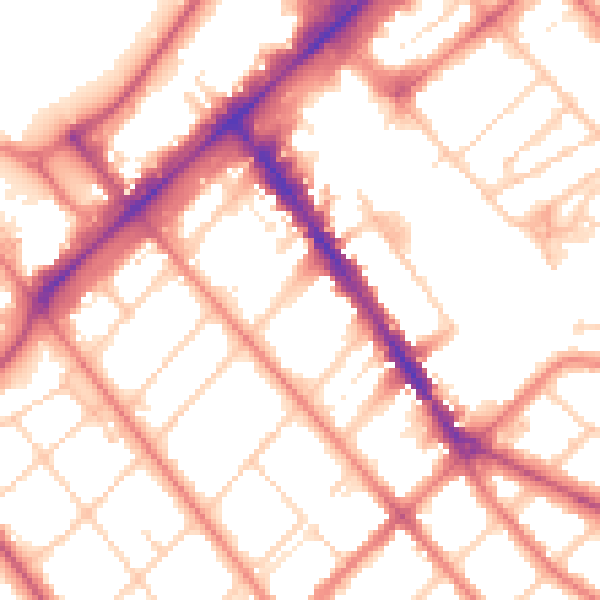
Daytime· 07:00 – 23:00
53.8dB

Night-time· 23:00 – 07:00
42.8dB