5 Riding Street, Southport, PR8 1EW
About 5 Riding Street
5 Riding Street is a property in Southport (PR8 1EW). It has a recorded floor area of 68 m² (around 732 sq ft), construction records dating it to 1900-1929 and council tax band A. At 68 m² this is the 11th smallest of 35 units on EPC record in the building, where floor areas span 40–195 m². The building's EPC ratings span F to C, with this unit at the top. The latest certificate (July 2025) shows a C (score 72).
At 68 m² it sits well below the postcode median (115 m² across 34 EPCs), making it one of the more compact homes locally. Its energy rating outperforms most of the postcode (better than 79% of similar EPCs).
Everything you need to know about 5 Riding Street
The true value, the hidden risks and the full sale history, in one report.
Pick your report · every report is £14.99
One time fee only - money back guarantee

The data behind every report


Energy performance
EPC Rating
Get a survey for this property
Level 3 Building Survey
Because the property was built before 1919, we believe a Level 3 building survey should be considered.
From £820 · Includes VAT
Planning history
5 Riding Street has no planning applications on record.
But the area is active
4 notable applications nearby — larger schemes and conversions that could reshape the street. The report maps them all.
Sales history & valuation
5 Riding Street has no Land Registry sales on file, suggesting it has stayed in the same hands since registration began.
£122,000
Modelled from EPC, postcode comparables.
No sales recorded with HM Land Registry
That can mean the property has never traded since the registry began publishing in 1995, was a new build that hasn't been registered yet, or is held in the same hands long-term.
Median price across the last 5 sales in PR8 1EW: £135,000 (2025–2022).
Nearby sales in PR8 1EW
Versus other Riding Street homes
5 Riding Street outperforms the street on epc rating by a wide margin.
EPC Rating
72 (C)
Street avg 59 (D)
Floor Area
68 m²
Street avg 62 m²
CO₂ Emissions
2.1 t/year
Street avg 3.5 t/year
Habitable Rooms
3 rooms
Street avg 3 rooms
Everything you need to know about 5 Riding Street
The true value, the hidden risks and the full sale history, in one report.
Pick your report · every report is £14.99
One time fee only - money back guarantee
The data behind every report
Similar properties nearby
1 West End Terrace
PR8 1QR
10 Bridge Street
PR8 1BW
1 North House, Eastbank Street
PR8 1DS
10 Denefield House, 27 Portland Street
PR8 1HU
1 Nelson Street
PR8 1QE
1 Denefield House, 27 Portland Street
PR8 1HU
1 The Mews, St Andrews Place
PR8 1HR
1 Yellow House Lane
PR8 1ER
The neighbourhood at a glance
Rail-style transport is unusually close for this postcode.
Crime
4/mo
Steady year-on-year across the wider district.
Nearest stop
0.1 km
Yellowhouse Lane — bus stop.
Closest school
0.5 km
Linaker Primary School. 13 schools nearby.
Go deeper on the local area
A Local Area report breaks down crime, transport links, schools and air quality in depth.
Road noise across the postcode
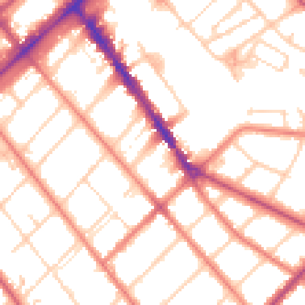
Daytime· 07:00 – 23:00
52.2dB

Night-time· 23:00 – 07:00
41.2dB