3 North House, Eastbank Street, Southport, PR8 1DS
About 3 North House
3 North House is an end-of-terrace house in Southport (PR8 1DS). It has a recorded floor area of 64 m² (around 689 sq ft), construction records dating it to 1930-1949 and council tax band B. At 64 m² this is the 4th smallest of 13 units on EPC record in the building, where floor areas span 52–72 m². The building's EPC ratings span E to C, with this unit at the bottom. The latest certificate (March 2024) shows an E (score 45), well below the UK norm with real room to improve. Earlier certificates rated it C (April 2014); the latest reading is 2 bands lower. Between certificates, window efficiency dropped from Good to Average and hot-water efficiency dropped from Average to Very Poor. The recommended improvements would push it to D (score 65). Main heating runs on electricity.
It hasn't traded since December 2001, a hold of 24 years that's notably long for the area. Today's modelled estimate of £128,000 sits 55.2% above the 2001 sale of £82,500. On a £-per-square-foot basis, the last sale (£120/sq ft) was about 16.1% above the typical sold price in the postcode. 2 planning records sit against the property, 2 approved, 0 refused. Past consents include an extension, meaningful when judging how the property has evolved. It lags the bulk of the postcode on energy efficiency (less efficient than 75% of similar EPCs).
Everything you need to know about 3 North House
The true value, the hidden risks and the full sale history, in one report.
Pick your report · every report is £14.99
One time fee only - money back guarantee

The data behind every report


Energy performance
EPC Rating
Get a survey for this property
Level 3 Building Survey
Because the property has no mains gas supply, we believe a Level 3 building survey should be considered.
From £820 · Includes VAT
Planning history
3 North House has an approved single-storey rear extension on the planning record.
2 applications on record at 3 North House, Eastbank Street, Southport, PR8 1DS
- Oct 2001ExtensionFullOutcome in report
Extension: Single storey · Rear of property
Erection of a single storey extension at the rear of the premises in the service yard area
- Reference
- N/2001/0721
- More recent applications — locked
- FullNov 2001Decision
Unlock 3 North House, Eastbank Street, Southport, PR8 1DS's full planning history
You're seeing the shape of it. The report has the substance.
- Every decision — granted, refused or withdrawn (2 on record)
- All 2 applications on this property in full, plus 4 notable nearby
- What the pattern means for extending or converting here
One time fee only - money back guarantee
Sales history & valuation
3 North House valuation sits well clear of the typical sold price in this postcode.
£128,000
Modelled from EPC, postcode comparables.
£82,500
Recorded with HM Land Registry.
Sales timeline
20 December 2001Most recent
£82,500
Median price across the last 5 sales in PR8 1DS: £47,000 (2025–2023).
Nearby sales in PR8 1DS
11 North House, Eastbank Street, Southport, PR8 1DS
Sold May 2025
£47,00010 North House, Eastbank Street, Southport, PR8 1DS
Sold Jun 2024
£69,0008 North House, Eastbank Street, Southport, PR8 1DS
Sold Jul 2023
£33,0002 North House, Eastbank Street, Southport, PR8 1DS
Sold Jul 2023
£35,0004 North House, Eastbank Street, Southport, PR8 1DS
Sold Jan 2023
£65,000
Versus other Eastbank Street homes
On years held, 3 North House stands well clear of the street.
Price per m²
£1,289
Street avg £850
Floor Area
64 m²
Street avg 65 m²
Habitable Rooms
3 rooms
Street avg 3 rooms
CO₂ Emissions
3.8 t/year
Street avg 3.9 t/year
Everything you need to know about 3 North House
The true value, the hidden risks and the full sale history, in one report.
Pick your report · every report is £14.99
One time fee only - money back guarantee
The data behind every report
Similar properties nearby
1 Nelson Street
PR8 1QE
10 Bridge Street
PR8 1BW
1 West End Terrace
PR8 1QR
1 North House, Eastbank Street
PR8 1DS
10 Denefield House, 27 Portland Street
PR8 1HU
1 Denefield House, 27 Portland Street
PR8 1HU
1 The Mews, St Andrews Place
PR8 1HR
1 Yellow House Lane
PR8 1ER
The neighbourhood at a glance
Rail-style transport is unusually close for this postcode.
Crime
4/mo
Steady year-on-year across the wider district.
Nearest stop
0.0 km
Chapel Street — bus stop.
Closest school
0.6 km
Southport Education Group. 13 schools nearby.
Go deeper on the local area
A Local Area report breaks down crime, transport links, schools and air quality in depth.
Road noise across the postcode
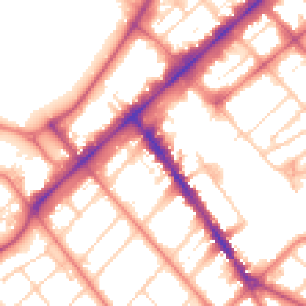
Daytime· 07:00 – 23:00
54.4dB

Night-time· 23:00 – 07:00
43.6dB