10 Long Lane, Heath Charnock, Chorley, PR6 9EN
About 10 Long Lane
10 Long Lane is a two-bedroom mid-terrace house in Heath Charnock, Chorley, Chorley (PR6 9EN). It has a recorded floor area of 67 m² (around 721 sq ft), construction records dating it to 1900-1929 and council tax band B. The latest certificate (May 2018) shows a D (score 57), a step below the typical UK home. The recommended improvements would push it to C (score 74). Other recorded features include notable views. Period features are noted in the property record.
At 67 m² it sits well below the postcode median (114 m² across 7 EPCs), making it one of the more compact homes locally. Across 1997–2018, sale prices on this property compounded at 5.4% per year. Today's modelled estimate of £234,000 is 35.3% above the 2018 sale price. On a £-per-square-foot basis, the last sale (£240/sq ft) was about 135% above the typical sold price in the postcode. Most recent transfer: October 2018 at £173,000.
What this property has
Inside
- Bedrooms2
Outside
- Private gardenWest-facing
- DrivewayYes
- Notable viewsYes
Building
- Period featuresYes
- RefurbishedYes
Everything you need to know about 10 Long Lane
The true value, the hidden risks and the full sale history, in one report.
Pick your report · every report is £14.99
One time fee only - money back guarantee

The data behind every report


Energy performance
EPC Rating
Get a survey for this property
Level 3 Building Survey
Because the property was built before 1919, we believe a Level 3 building survey should be considered.
From £885 · Includes VAT
Planning history
10 Long Lane has no planning applications on record.
But the area is active
4 notable applications nearby — larger schemes and conversions that could reshape the street. The report maps them all.
Sales history & valuation
Sale price has grown by over 3x since 1997.
£234,000
Modelled from EPC, postcode comparables and a sale-price growth of 5.4% per year over 22 years.
£173,000
Growth on file: 5.4% per year over 22 years.
Sales timeline
25 October 2018Most recent
£173,000
+44.2%over 14 years4 April 2004
£120,000
+114.5%over 7 years17 March 1997
£55,950
Median price across the last 5 sales in PR6 9EN: £190,000 (2022–2001).
Nearby sales in PR6 9EN
24 Long Lane, Heath Charnock, Chorley, PR6 9EN
Sold Oct 2022
£375,00020 Long Lane, Heath Charnock, Chorley, PR6 9EN
Sold Jun 2021
£275,00014 Long Lane, Heath Charnock, Chorley, PR6 9EN
Sold Nov 2018
£190,00026 Long Lane, Heath Charnock, Chorley, PR6 9EN
Sold Apr 2013
£125,0008 Long Lane, Heath Charnock, Chorley, PR6 9EN
Sold Nov 2001
£61,500
Versus other Long Lane homes
On epc rating, 10 Long Lane runs well behind the street norm.
Price per m²
£2,582
Street avg £1,682
Floor Area
67 m²
Street avg 118 m²
Habitable Rooms
5 rooms
Street avg 5 rooms
CO₂ Emissions
4.6 t/year
Street avg 3.3 t/year
Everything you need to know about 10 Long Lane
The true value, the hidden risks and the full sale history, in one report.
Pick your report · every report is £14.99
One time fee only - money back guarantee
The data behind every report
Similar properties nearby
1 Bolton Road, Grimeford Village, Anderton
PR6 9HH
1 Brentwood Road, Anderton
PR6 9PL
1 Ashfield Court, Ashfield Road, Anderton
PR6 9NJ
1 Aldcliffe Court, Adlington
PR6 9FW
1 Chorley Road, Adlington
PR6 9LH
1 Back Lane, Heath Charnock
PR6 9DP
1 Broad Oak Close, Adlington
PR6 9RU
1 Bridge Mill Court
PR6 9DU
The neighbourhood at a glance
Crime
2/mo
Steady year-on-year across the wider district.
Nearest stop
0.1 km
Bay Horse — bus stop.
Closest school
1.2 km
Anderton Primary School. 7 schools nearby.
Go deeper on the local area
A Local Area report breaks down crime, transport links, schools and air quality in depth.
Road noise across the postcode
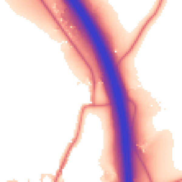
Daytime· 07:00 – 23:00
54.8dB

Night-time· 23:00 – 07:00
46.9dB