7 Briers Brow, Wheelton, Chorley, PR6 8HD
About 7 Briers Brow
7 Briers Brow is a property in Wheelton, Chorley, Chorley (PR6 8HD).
Across 2001–2024, sale prices on this property compounded at 4.9% per year. Sold September 2024 for £374,000.
Everything you need to know about 7 Briers Brow
The true value, the hidden risks and the full sale history, in one report.
Pick your report · every report is £14.99
One time fee only - money back guarantee

The data behind every report


Energy performance
No EPC on record
This property doesn't have an Energy Performance Certificate yet. An EPC is required to sell or let — and unlocks our automated valuation.
Get a survey for this property
Level 2 HomeBuyer Report
We've checked 10 risk factors against the available data for this property and believe a Level 2 HomeBuyer Report could be a suitable option for you.
Planning history
7 Briers Brow has no planning applications on record.
But the area is active
2 notable applications nearby — larger schemes and conversions that could reshape the street. The report maps them all.
Sales history & valuation
7 Briers Brow has more than doubled in price since the earliest registered sale in 2001.
£374,000
Growth on file: 4.9% per year over 23 years.
Sales timeline
23 September 2024Most recent
£374,000
+33.6%over 3 years28 June 2021
£280,000
+124.0%over 19 years7 December 2001
£125,000
Median price across the last 5 sales in PR6 8HD: £345,000 (2022–2007).
Nearby sales in PR6 8HD
10 Briers Brow, Wheelton, Chorley, PR6 8HD
Sold May 2022
£510,0002 Hollincroft, Briers Brow, Wheelton, Chorley, PR6 8HD
Sold May 2018
£134,000Briars House, Briers Brow, Wheelton, Chorley, PR6 8HD
Sold Apr 2010
£375,0003 Briers Brow, Wheelton, Chorley, PR6 8HD
Sold Sept 2007
£170,000Delf Cottage, Briers Brow, Wheelton, Chorley, PR6 8HD
Sold Aug 2007
£249,000
Everything you need to know about 7 Briers Brow
The true value, the hidden risks and the full sale history, in one report.
Pick your report · every report is £14.99
One time fee only - money back guarantee
The data behind every report
Similar properties nearby
1 Balmoral Drive, Brinscall
PR6 8ST
1 Belmont Close, Brinscall
PR6 8SX
1 Brook Street, Wheelton
PR6 8HB
1 Abbeystead Gardens, Abbey Village
PR6 8EF
1 Brinscall Hall Cottages, Dick Lane, Brinscall
PR6 8QL
1 Ashmeadow Lane, Brinscall
PR6 8JU
1 Compass Cottages, Briers Brow, Wheelton
PR6 8JW
1 Dorking Road
PR6 8TR
The neighbourhood at a glance
Daytime road noise here sits well below conversation level — a quiet pocket of the postcode.
Crime
2/mo
Steady year-on-year across the wider district.
Nearest stop
0.2 km
Millbrook Close — bus stop.
Closest school
0.9 km
St Chad's Catholic Primary School. 6 schools nearby.
Go deeper on the local area
A Local Area report breaks down crime, transport links, schools and air quality in depth.
Road noise across the postcode
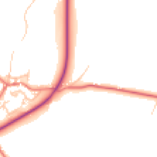
Daytime· 07:00 – 23:00
47.7dB

Night-time· 23:00 – 07:00
39.8dB