8 Bannerman Terrace, Chorley, PR6 7AF
About 8 Bannerman Terrace
8 Bannerman Terrace is a three-bedroom mid-terrace house in Chorley (PR6 7AF). It has a recorded floor area of 87 m² (around 936 sq ft), construction records dating it to 1900-1929 and council tax band A. Other recorded features include outbuildings. The latest certificate (March 2023) shows a C (score 72). The recommended improvements would push it to B (score 85).
Across 2006–2023, sale prices on this property compounded at 1.8% per year. Today's modelled estimate of £158,000 is 18.4% above the 2023 sale price. On a £-per-square-foot basis, the last sale (£143/sq ft) was about 54.3% above the typical sold price in the postcode. Sold July 2023 for £133,500.
What this property has
Inside
- Bedrooms3
- Bathrooms1
- Dining roomYes
Outside
- Private gardenYes
- OutbuildingsYes
Building
- Heating systemGas
Everything you need to know about 8 Bannerman Terrace
The true value, the hidden risks and the full sale history, in one report.
Pick your report · every report is £14.99
One time fee only - money back guarantee

The data behind every report


Energy performance
EPC Rating
Get a survey for this property
Level 3 Building Survey
Because the property was built before 1919 and has permanent outbuildings, we believe a Level 3 building survey should be considered.
From £820 · Includes VAT
Planning history
8 Bannerman Terrace has no planning applications on record.
A planning report still maps activity across the surrounding area and reads this property's extension & conversion potential.
Sales history & valuation
8 Bannerman Terrace valuation sits well clear of the typical sold price in this postcode.
£158,000
Modelled from EPC, postcode comparables and a sale-price growth of 1.8% per year over 17 years.
£133,500
Growth on file: 1.8% per year over 17 years.
Sales timeline
20 July 2023Most recent
£133,500
+35.5%over 16 years10 August 2006
£98,500
Median price across the last 5 sales in PR6 7AF: £112,000 (2025–2021).
Nearby sales in PR6 7AF
Versus other Bannerman Terrace homes
EPC Rating for 8 Bannerman Terrace runs comfortably ahead of the street norm.
Price per m²
£1,534
Street avg £1,297
Floor Area
87 m²
Street avg 87 m²
Habitable Rooms
5 rooms
Street avg 4 rooms
CO₂ Emissions
2.9 t/year
Street avg 3.7 t/year
Everything you need to know about 8 Bannerman Terrace
The true value, the hidden risks and the full sale history, in one report.
Pick your report · every report is £14.99
One time fee only - money back guarantee
The data behind every report
Similar properties nearby
1 Cedar Field, Clayton Le Woods
PR6 7RW
1 Brownley Street, Clayton Le Woods
PR6 7JF
1 Back Lane, Clayton Le Woods
PR6 7QE
1 Berry Avenue, Whittle Le Woods
PR6 7FX
1 Bone Croft, Clayton Le Woods
PR6 7UR
1 Blackthorn Croft, Clayton Le Woods
PR6 7TZ
1 Bingley Close, Clayton Le Woods
PR6 7ST
1 Brookfield Lane, Clayton Le Woods
PR6 7FG
The neighbourhood at a glance
Crime
2/mo
Steady year-on-year across the wider district.
Nearest stop
0.2 km
Beaconsfield Terrace — bus stop.
Closest school
0.3 km
St Joseph's Catholic Primary School, Chorley. 21 schools nearby.
Go deeper on the local area
A Local Area report breaks down crime, transport links, schools and air quality in depth.
Road noise across the postcode
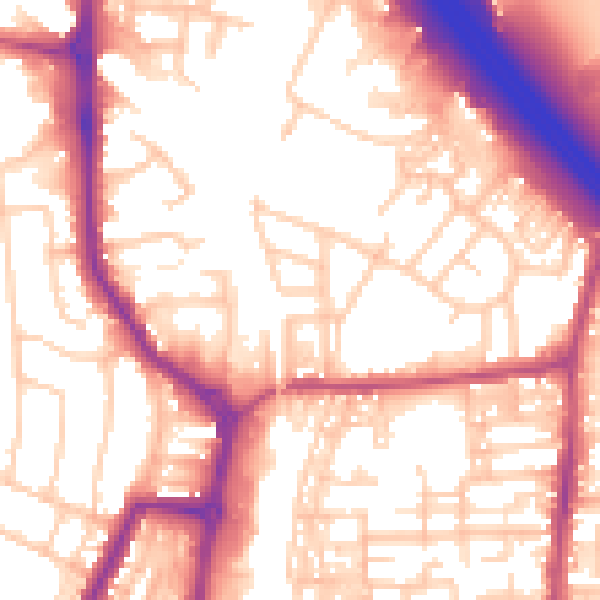
Daytime· 07:00 – 23:00
56.8dB
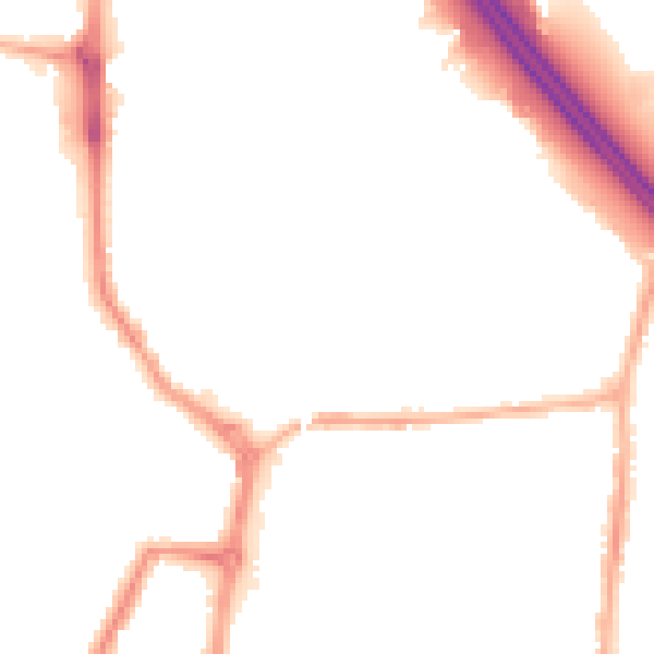
Night-time· 23:00 – 07:00
46.9dB