256 Eaves Lane, Chorley, PR6 0DZ
About 256 Eaves Lane
256 Eaves Lane is a mid-terrace house in Chorley (PR6 0DZ). It has a recorded floor area of 95 m² (around 1023 sq ft), construction records dating it to 1900-1929 and council tax band B. The latest certificate (May 2011) shows an E (score 47), well below the UK norm with real room to improve. The recommended improvements would push it to D (score 68). The latest certificate is from May 2011, so improvements made since then won't be reflected.
It lags the bulk of the postcode on energy efficiency (less efficient than 73% of similar EPCs). Today's modelled estimate of £150,000 is 30.4% above the 2019 sale price. On a £-per-square-foot basis, the last sale (£112/sq ft) was about 18.3% above the typical sold price in the postcode. Sold September 2019 for £115,000.
Everything you need to know about 256 Eaves Lane
The true value, the hidden risks and the full sale history, in one report.
Pick your report · every report is £14.99
One time fee only - money back guarantee

The data behind every report


Energy performance
256 Eaves Lane's carbon output runs well above what efficient homes in the postcode produce.
EPC Expired
This certificate is over 10 years old and is no longer valid.Expired 23 May 2021
EPC Rating
Get a survey for this property
Level 3 Building Survey
Because the property was built before 1919, we believe a Level 3 building survey should be considered.
From £820 · Includes VAT
Planning history
256 Eaves Lane has no planning applications on record.
But the area is active
5 notable applications nearby — larger schemes and conversions that could reshape the street. The report maps them all.
Sales history & valuation
£150,000
Modelled from EPC, postcode comparables.
£115,000
Recorded with HM Land Registry.
Sales timeline
26 September 2019Most recent
£115,000
Median price across the last 5 sales in PR6 0DZ: £145,000 (2021–2019).
Versus other Eaves Lane homes
256 Eaves Lane is notably below the street on habitable rooms.
Price per m²
£1,210
Street avg £1,107
Floor Area
95 m²
Street avg 108 m²
Habitable Rooms
4 rooms
Street avg 6 rooms
CO₂ Emissions
6.3 t/year
Street avg 5.6 t/year
Everything you need to know about 256 Eaves Lane
The true value, the hidden risks and the full sale history, in one report.
Pick your report · every report is £14.99
One time fee only - money back guarantee
The data behind every report
Similar properties nearby
The neighbourhood at a glance
Rail-style transport is unusually close for this postcode.
Crime
2/mo
Steady year-on-year across the wider district.
Nearest stop
0.0 km
St Peters Street — bus stop.
Closest school
0.1 km
St Peter's CofE Primary School Chorley. 19 schools nearby.
Go deeper on the local area
A Local Area report breaks down crime, transport links, schools and air quality in depth.
Road noise across the postcode
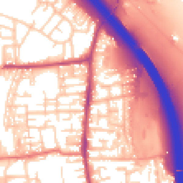
Daytime· 07:00 – 23:00
59.2dB
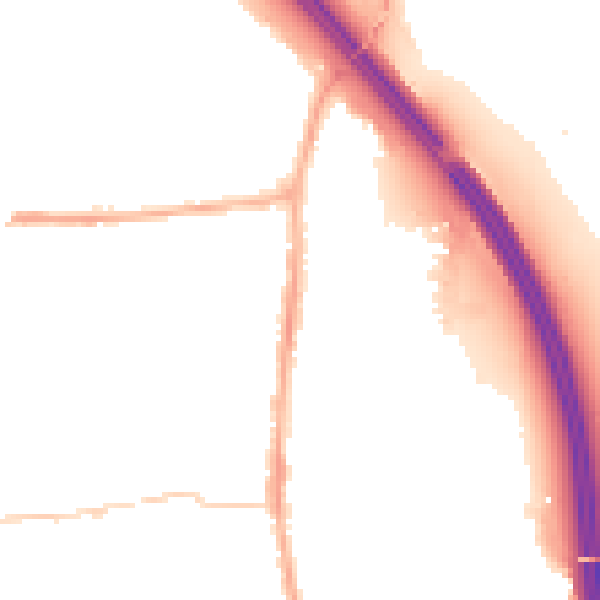
Night-time· 23:00 – 07:00
49.6dB