7 Nab Road, Chorley, PR6 0DY
About 7 Nab Road
7 Nab Road is a two-bedroom end-of-terrace house in Chorley (PR6 0DY). It has a recorded floor area of 82 m² (around 883 sq ft), construction records dating it to 1900-1929 and council tax band A. The latest certificate (January 2018) shows an E (score 52), well below the UK norm with real room to improve. The recommended improvements would lift it to B (score 81), a 3-band jump.
On energy efficiency it sits in the bottom 10% of properties in this postcode — significant headroom for improvement. Across 2018–2021, sale prices on this property compounded at 8.9% per year. Today's modelled estimate of £154,000 is 20.8% above the 2021 sale price. On a £-per-square-foot basis, the last sale (£144/sq ft) was about 19.1% above the typical sold price in the postcode. Last sale on file: £127,500 in November 2021. That sale was during the post-pandemic price surge, when transactions cleared materially above pre-2020 trend.
What this property has
Inside
- Bedrooms2
- Bathrooms1
Outside
- GarageYes
Everything you need to know about 7 Nab Road
The true value, the hidden risks and the full sale history, in one report.
Pick your report · every report is £14.99
One time fee only - money back guarantee

The data behind every report


Energy performance
7 Nab Road sits at the bottom of the postcode for energy efficiency — meaningful headroom to improve.
EPC Rating
Get a survey for this property
Level 3 Building Survey
Because the property was built before 1919, we believe a Level 3 building survey should be considered.
From £820 · Includes VAT
Planning history
7 Nab Road has no planning applications on record.
But the area is active
5 notable applications nearby — larger schemes and conversions that could reshape the street. The report maps them all.
Sales history & valuation
The latest sale landed in the post-pandemic price surge — useful context when reading the figure.
£154,000
Modelled from EPC, postcode comparables and a sale-price growth of 8.9% per year over 3 years.
£127,500
Growth on file: 8.9% per year over 3 years.
Sales timeline
22 November 2021Most recent
£127,500
+34.2%over 3 years11 June 2018
£95,000
Median price across the last 5 sales in PR6 0DY: £175,000 (2025–2009).
Versus other Nab Road homes
7 Nab Road is notably below the street on epc rating.
Price per m²
£1,555
Street avg £1,196
Floor Area
82 m²
Street avg 95 m²
Habitable Rooms
3 rooms
Street avg 6 rooms
CO₂ Emissions
5.4 t/year
Street avg 3.8 t/year
Everything you need to know about 7 Nab Road
The true value, the hidden risks and the full sale history, in one report.
Pick your report · every report is £14.99
One time fee only - money back guarantee
The data behind every report
Similar properties nearby
The neighbourhood at a glance
Crime
2/mo
Steady year-on-year across the wider district.
Nearest stop
0.1 km
St Peters Street — bus stop.
Closest school
0.1 km
St Peter's CofE Primary School Chorley. 19 schools nearby.
Go deeper on the local area
A Local Area report breaks down crime, transport links, schools and air quality in depth.
Road noise across the postcode
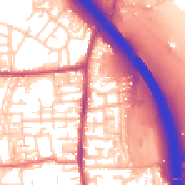
Daytime· 07:00 – 23:00
59.6dB
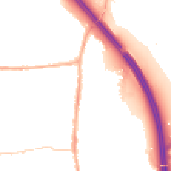
Night-time· 23:00 – 07:00
50.2dB