13 Russell Square West, Chorley, PR6 0AR
About 13 Russell Square West
13 Russell Square West is a two-bedroom semi-detached house in Chorley (PR6 0AR). It has a recorded floor area of 67 m² (around 721 sq ft), construction records dating it to 1930-1949 and council tax band B. The latest certificate (March 2016) shows an E (score 52), well below the UK norm with real room to improve. The recommended improvements would lift it to C (score 76), a 2-band jump. The latest certificate is from March 2016, so improvements made since then won't be reflected.
Last sale on file: £165,000 in March 2022. Across the public record there are 4 sales, relatively high churn for a single property. That sale was during the post-pandemic price surge, when transactions cleared materially above pre-2020 trend. At 67 m² it's 19.8% smaller than the typical home in the postcode (84 m² median across 10 EPCs). It lags the bulk of the postcode on energy efficiency (less efficient than 80% of similar EPCs). Across 1999–2022, sale prices on this property compounded at 5.2% per year. Today's modelled estimate of £194,000 is 17.6% above the 2022 sale price. On a £-per-square-foot basis, the last sale (£229/sq ft) was about 89.4% above the typical sold price in the postcode.
What this property has
Inside
- Bedrooms2
- Bathrooms1
Outside
- Private gardenYes
- GarageYes
Building
- RefurbishedYes
Everything you need to know about 13 Russell Square West
The true value, the hidden risks and the full sale history, in one report.
Pick your report · every report is £14.99
One time fee only - money back guarantee

The data behind every report


Energy performance
Recommended upgrades on file would lift this property by multiple EPC bands.
EPC Expired
This certificate is over 10 years old and is no longer valid.Expired 27 Mar 2026
EPC Rating
Get a survey for this property
Level 2 HomeBuyer Report
We've checked 10 risk factors against the available data for this property and believe a Level 2 HomeBuyer Report could be a suitable option for you.
From £495 · Includes VAT
Planning history
13 Russell Square West has no planning applications on record.
But the area is active
5 notable applications nearby — larger schemes and conversions that could reshape the street. The report maps them all.
Sales history & valuation
Latest sale on 13 Russell Square West was the highest on Land Registry record across the postcode.
£194,000
Modelled from EPC, postcode comparables and a sale-price growth of 5.2% per year over 23 years.
£165,000
Growth on file: 5.2% per year over 23 years.
Sales timeline
27 March 2022Most recent
£165,000
+26.9%over 5 years22 August 2016
£130,000
+5.7%over 9 years24 November 2006
£123,000
+141.2%over 7 years30 March 1999
£51,000
Median price across the last 5 sales in PR6 0AR: £155,000 (2022–2015).
Nearby sales in PR6 0AR
21 Russell Square West, Chorley, PR6 0AR
Sold Jan 2022
£130,00015 Russell Square West, Chorley, PR6 0AR
Sold Oct 2018
£155,00011 Russell Square West, Chorley, PR6 0AR
Sold Dec 2015
£163,00012 Russell Square West, Chorley, PR6 0AR
Sold May 2015
£110,0009 Russell Square West, Chorley, PR6 0AR
Sold Sept 2014
£146,000
Versus other Russell Square West homes
13 Russell Square West outperforms the street on price per m² by a wide margin.
Price per m²
£2,463
Street avg £1,448
Floor Area
67 m²
Street avg 87 m²
Habitable Rooms
4 rooms
Street avg 5 rooms
CO₂ Emissions
4.7 t/year
Street avg 4.0 t/year
Everything you need to know about 13 Russell Square West
The true value, the hidden risks and the full sale history, in one report.
Pick your report · every report is £14.99
One time fee only - money back guarantee
The data behind every report
Similar properties nearby
The neighbourhood at a glance
Rail-style transport is unusually close for this postcode.
Crime
2/mo
Steady year-on-year across the wider district.
Nearest stop
0.3 km
Aniline Street — bus stop.
Closest school
0.3 km
Highfield Community Primary School. 20 schools nearby.
Go deeper on the local area
A Local Area report breaks down crime, transport links, schools and air quality in depth.
Road noise across the postcode
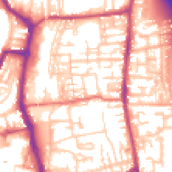
Daytime· 07:00 – 23:00
56.6dB
Night-time· 23:00 – 07:00
46.3dB