9 Bobbin Mill Terrace, Victoria Street, Longridge, Preston, PR3 3EG
About 9 Bobbin Mill Terrace
9 Bobbin Mill Terrace is a detached house in Longridge, Preston, Preston (PR3 3EG). It has a recorded floor area of 74 m² (around 797 sq ft), construction records dating it to 2007 onwards and council tax band B. At 74 m² this is the smallest unit on EPC record across the building (74–95 m²). The building's EPC ratings span C to B, with this unit at the bottom. The latest certificate (September 2015) shows a C (score 80), near the top of the C band. The latest certificate is from September 2015, so improvements made since then won't be reflected.
Everything you need to know about 9 Bobbin Mill Terrace
The true value, the hidden risks and the full sale history, in one report.
Pick your report · every report is £14.99
One time fee only - money back guarantee

The data behind every report


Energy performance
9 Bobbin Mill Terrace's carbon output is low for the local stock.
EPC Expired
This certificate is over 10 years old and is no longer valid.Expired 20 Sept 2025
EPC Rating
Get a survey for this property
Level 2 HomeBuyer Report
We've checked 10 risk factors against the available data for this property and believe a Level 2 HomeBuyer Report could be a suitable option for you.
From £495 · Includes VAT
Planning history
9 Bobbin Mill Terrace has no planning applications on record.
But the area is active
2 notable applications nearby — larger schemes and conversions that could reshape the street. The report maps them all.
Sales history & valuation
9 Bobbin Mill Terrace has no Land Registry sales on file, suggesting it has stayed in the same hands since registration began.
£139,000
Modelled from EPC, postcode comparables.
No sales recorded with HM Land Registry
That can mean the property has never traded since the registry began publishing in 1995, was a new build that hasn't been registered yet, or is held in the same hands long-term.
Median price across the last 1 sales in PR3 3EG: £1,635,000 (2020–2020).
Nearby sales in PR3 3EG
Everything you need to know about 9 Bobbin Mill Terrace
The true value, the hidden risks and the full sale history, in one report.
Pick your report · every report is £14.99
One time fee only - money back guarantee
The data behind every report
Similar properties nearby
1 Chapel Street, Longridge
PR3 3JH
1 Brewery Street, Longridge
PR3 3NB
1 Anchor Hill Close, Ribchester
PR3 3ZR
1 Charles Grove, Longridge
PR3 3FL
1 Barclay Road, Longridge
PR3 3LD
1 Bobbin Mill Terrace, Victoria Street, Longridge
PR3 3EG
1 Bleasdale Court, Longridge
PR3 3TX
1 Alexandra Road, Longridge
PR3 3EJ
The neighbourhood at a glance
Daytime road noise here sits well below conversation level — a quiet pocket of the postcode.
Crime
3/mo
Steady year-on-year across the wider district.
Nearest stop
0.1 km
Stone Bridge — bus stop.
Closest school
0.3 km
Longridge St Wilfrid's Roman Catholic Primary School. 6 schools nearby.
Go deeper on the local area
A Local Area report breaks down crime, transport links, schools and air quality in depth.
Road noise across the postcode
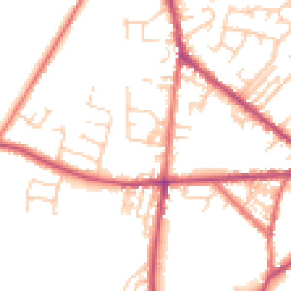
Daytime· 07:00 – 23:00
49.8dB

Night-time· 23:00 – 07:00
40.4dB