45 Norton Road, Cabus, Preston, PR3 1JX
About 45 Norton Road
45 Norton Road is a property in Cabus, Preston, Preston (PR3 1JX). It has council tax band C.
Energy performance
No EPC on record
This property doesn't have an Energy Performance Certificate yet. An EPC is required to sell or let — and unlocks our automated valuation.
Get a survey for this property
Level 2 HomeBuyer Report
We've checked 10 risk factors against the available data for this property and believe a Level 2 HomeBuyer Report could be a suitable option for you.
Planning history
No planning applications are recorded against 45 Norton Road, Cabus, Preston, PR3 1JX. The full report also covers planning activity across the surrounding area.
Sales history & valuation
No sales recorded with HM Land Registry
That can mean the property has never traded since the registry began publishing in 1995, was a new build that hasn't been registered yet, or is held in the same hands long-term.
Median price across the last 5 sales in PR3 1JX: £220,000 (2025–2023).
Nearby sales in PR3 1JX
7 Norton Road, Cabus, Preston, PR3 1JX
Sold May 2025
£220,00057 Norton Road, Cabus, Preston, PR3 1JX
Sold Nov 2024
£204,00033 Norton Road, Cabus, Preston, PR3 1JX
Sold Sept 2023
£240,00029 Norton Road, Cabus, Preston, PR3 1JX
Sold Aug 2023
£265,00037 Norton Road, Cabus, Preston, PR3 1JX
Sold Jul 2023
£200,000
Similar properties nearby
1 2, Victoria Terrace, Calder Vale
PR3 1SJ
1 3, Primrose Cottages, Calder Vale
PR3 1SD
1 Acorn Bank, Garstang
PR3 1LP
1 Acresfield Park, Garstang Bypass Road, Garstang
PR3 1PW
1 Albert Terrace, Calder Vale
PR3 1SA
1 Alpine Heights, Garstang
PR3 1PF
1 Anderton Way, Garstang
PR3 1RF
1 Ash Drive, Bowgreave
PR3 1GU
The neighbourhood at a glance
Crime
3/mo
Steady year-on-year across the wider district.
Nearest stop
0.1 km
Graham Road — bus stop.
Closest school
0.8 km
Garstang Community Primary School. 6 schools nearby.
Road noise across the postcode
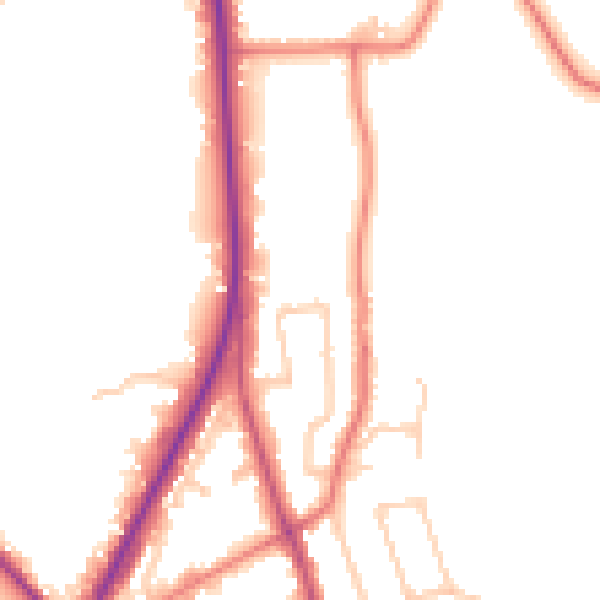
Daytime· 07:00 – 23:00
51.4dB

Night-time· 23:00 – 07:00
44.1dB