Ainscough Brook House, Flat 31, Ribbleton Avenue, Ribbleton, Preston, PR2 6RW
About Ainscough Brook House
Ainscough Brook House is a mid-terrace house in Ribbleton, Preston, Preston (PR2 6RW). It has a recorded floor area of 40 m² (around 431 sq ft), construction records dating it to 1983-1990 and council tax band A. The latest certificate (September 2015) shows a C (score 77), near the top of the C band. Earlier certificates rated it B (January 2011); the latest reading is one band lower. Between certificates, window efficiency went from Average to Good; while lighting dropped from Good to Very Poor. The latest certificate is from September 2015, so improvements made since then won't be reflected. At 40 m² this is the 22nd smallest of 36 units on EPC record in Ainscough Brook House, where floor areas span 25–80 m².
At 40 m² it's 17.6% larger than the typical home in the postcode (34 m² median across 35 EPCs).
Know exactly what you're buying at Ainscough Brook House
Before you offer, see what the listing won't tell you, the true value, the red flags and the full history.
Already flagged here
Valuation
against the asking price
Risks
planning & flood
Sold prices
similar homes nearby
Trends
the local market
Energy performance
Ainscough Brook House's carbon output is low for the local stock.
EPC Expired
This certificate is over 10 years old and is no longer valid.Expired 28 Sept 2025
EPC Rating
Property Improvements
Changes detected from historical EPC data
Changed to a more efficient fuel source
Window efficiency improved
Loft insulation upgraded to recommended levels
Low energy lighting percentage decreased
Planning history
Ainscough Brook House has no planning applications on record.
Notable planning nearby
4applications of note in the surrounding area
We flagged 1 thing worth checking at Ainscough Brook House
Independent checks surfaced things a buyer would want to understand before offering. The report explains each one in full, with the underlying data and what to ask.
- Larger development activity nearby
30-day money-back guarantee
Sales history & valuation
Ainscough Brook House has no Land Registry sales on file, suggesting it has stayed in the same hands since registration began.
£118,000
Modelled from EPC, postcode comparables.
No sales recorded with HM Land Registry
That can mean the property has never traded since the registry began publishing in 1995, was a new build that hasn't been registered yet, or is held in the same hands long-term.
Everything we know about Ainscough Brook House, in one report
What it's really worth, what could be wrong, and the planning, sales and area data in full.
What we flagged
- Larger development activity nearby

Versus other Ribbleton Avenue homes
EPC Rating
77 (C)
Street avg 76 (C)
Floor Area
40 m²
Street avg 39 m²
CO₂ Emissions
1.2 t/year
Street avg 1.3 t/year
Habitable Rooms
2 rooms
Street avg 2 rooms
Similar properties nearby
Ainscough Brook House, Flat 11, Ribbleton Avenue, Ribbleton
PR2 6RW
Ainscough Brook House, Flat 18, Ribbleton Avenue, Ribbleton
PR2 6RW
Ainscough Brook House, Flat 21, Ribbleton Avenue, Ribbleton
PR2 6RW
Ainscough Brook House, Flat 10, Ribbleton Avenue, Ribbleton
PR2 6RW
Ainscough Brook House, Flat 13, Ribbleton Avenue, Ribbleton
PR2 6RW
Ainscough Brook House, Flat 23, Ribbleton Avenue, Ribbleton
PR2 6RW
Ainscough Brook House, Flat 27, Ribbleton Avenue, Ribbleton
PR2 6RW
Ainscough Brook House, Flat 28, Ribbleton Avenue, Ribbleton
PR2 6RW
The neighbourhood at a glance
Crime
6/mo
Steady year-on-year across the wider district.
Nearest stop
0.1 km
Chatburn Road — bus stop.
Closest school
0.2 km
Moor Nook Community Primary School. 28 schools nearby.
Go deeper on the local area
The full report breaks down crime, transport links, schools and air quality in depth.
Road noise across the postcode
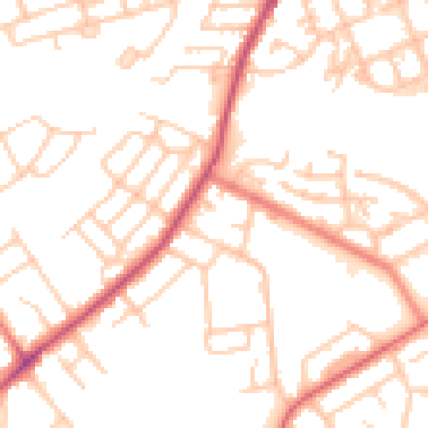
Daytime· 07:00 – 23:00
51.9dB

Night-time· 23:00 – 07:00
41.6dB