3 Cavendish Crescent, Ribbleton, Preston, PR2 6NB
About 3 Cavendish Crescent
3 Cavendish Crescent is a three-bedroom property in Ribbleton, Preston, Preston (PR2 6NB). It has council tax band B.
It hasn't traded since March 2008, a hold of 18 years that's notably long for the area. That sale landed at the peak of the pre-credit-crunch market, which is a useful reference point when interpreting the price.
Know exactly what you're buying at 3 Cavendish Crescent
Before you offer, see what the listing won't tell you, the true value, the red flags and the full history.
Already flagged here
Valuation
against the asking price
Risks
planning & flood
Sold prices
similar homes nearby
Trends
the local market
What this property has
Inside
- Bedrooms3
- Dining roomYes
- Utility roomYes
- CloakroomYes
Outside
- Private gardenYes
- GarageYes
Energy performance
No EPC on record
This property doesn't have an Energy Performance Certificate yet. An EPC is required to sell or let — and unlocks our automated valuation.
Planning history
3 Cavendish Crescent has no planning applications on record.
Notable planning nearby
4applications of note in the surrounding area
We flagged 1 thing worth checking at 3 Cavendish Crescent
Independent checks surfaced things a buyer would want to understand before offering. The report explains each one in full, with the underlying data and what to ask.
- Larger development activity nearby
30-day money-back guarantee
Sales history & valuation
The latest sale landed at the peak of the pre-credit-crunch market — a high-water reference point.
£129,000
Recorded with HM Land Registry.
Sales timeline
13 March 2008Most recent
£129,000
Median price across the last 5 sales in PR2 6NB: £130,000 (2021–2007).
Nearby sales in PR2 6NB
1 Cavendish Crescent, Ribbleton, Preston, PR2 6NB
Sold Mar 2021
£140,0005 Cavendish Crescent, Ribbleton, Preston, PR2 6NB
Sold Feb 2021
£110,0006 Cavendish Crescent, Ribbleton, Preston, PR2 6NB
Sold Sept 2016
£113,0004 Cavendish Crescent, Ribbleton, Preston, PR2 6NB
Sold Apr 2004
£98,5002 Cavendish Crescent, Ribbleton, Preston, PR2 6NB
Sold Jun 1997
£38,100
Everything we know about 3 Cavendish Crescent, in one report
What it's really worth, what could be wrong, and the planning, sales and area data in full.
What we flagged
- Larger development activity nearby

Similar properties nearby
1 Burholme Close, Ribbleton
PR2 6HQ
1 Braefield Crescent, Ribbleton
PR2 6ND
1 Benton Road, Ribbleton
PR2 6UL
1 Arnold Close, Ribbleton
PR2 6DX
1 Boilton Court, Ribbleton
PR2 6HF
1 Burwood Drive, Ribbleton
PR2 6YR
1 Belmont Close, Ribbleton
PR2 6DD
1 Acer Grove, Ribbleton
PR2 6EZ
The neighbourhood at a glance
Crime
6/mo
Steady year-on-year across the wider district.
Nearest stop
0.1 km
Farringdon Lane — bus stop.
Closest school
0.2 km
The Blessed Sacrament Catholic Primary School, Preston. 28 schools nearby.
Go deeper on the local area
The full report breaks down crime, transport links, schools and air quality in depth.
Road noise across the postcode
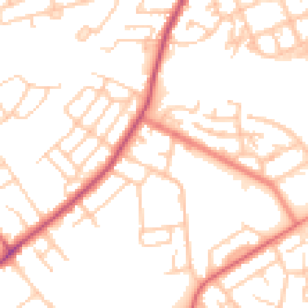
Daytime· 07:00 – 23:00
51.9dB

Night-time· 23:00 – 07:00
41.7dB