6 Banksfield Avenue, Fulwood, Preston, PR2 3RN
About 6 Banksfield Avenue
6 Banksfield Avenue is a three-bedroom semi-detached house in Fulwood, Preston, Preston (PR2 3RN). It has a recorded floor area of 99 m² (around 1066 sq ft), construction records dating it to 1930-1949 and council tax band C. The latest certificate (July 2014) shows an E (score 52), well below the UK norm with real room to improve. Earlier certificates rated it D (June 2011); the latest reading is one band lower. Between certificates, wall efficiency dropped from Good to Poor. The recommended improvements would lift it to B (score 83), a 3-band jump. The latest certificate is from July 2014, so improvements made since then won't be reflected.
On energy efficiency it sits in the bottom 10% of properties in this postcode — significant headroom for improvement. 2 planning records sit against the property, 2 approved, 0 refused. Past consents include an extension, meaningful when judging how the property has evolved. Today's modelled estimate of £193,000 is 45.7% above the 2012 sale price. On a £-per-square-foot basis, the last sale (£124/sq ft) was about 20.3% below the postcode norm. 14 years since the last transfer (February 2012).
Know exactly what you're buying at 6 Banksfield Avenue
Before you offer, see what the listing won't tell you, the true value, the red flags and the full history.
Already flagged here
Valuation
against the asking price
Risks
planning & flood
Sold prices
similar homes nearby
Trends
the local market
What this property has
Inside
- Bedrooms3
Energy performance
6 Banksfield Avenue sits at the bottom of the postcode for energy efficiency — meaningful headroom to improve.
EPC Expired
This certificate is over 10 years old and is no longer valid.Expired 20 Jul 2024
EPC Rating
Planning history
6 Banksfield Avenue has 2 separate extension applications on the council record.
- Mar 2016ExtensionFullIn report
Extension: Single storey · Rear of property
Erection of single storey extensions to rear of dwelling and erection of access ramp to rear
- Documents
- 7 docs on file
- Reference
- 06/2016/0036
- Dec 2015ExtensionOutlineIn report
Extension: Single storey · Rear of property
Erection of single storey extension to rear of dwelling, the proposed extension would extend beyond the rear wall of the original dwelling by 4.65m; the maximum height of the proposed extension would be 3.9m and 2.4m height at the eaves
- Reference
- PN/2015/0091
We flagged 1 thing worth checking at 6 Banksfield Avenue
Independent checks surfaced things a buyer would want to understand before offering. The report explains each one in full, with the underlying data and what to ask.
- Signs of HMO activity in the area
30-day money-back guarantee
Sales history & valuation
£193,000
Modelled from EPC, postcode comparables.
£132,500
Recorded with HM Land Registry.
Sales timeline
9 February 2012Most recent
£132,500
Median price across the last 5 sales in PR2 3RN: £207,500 (2025–2021).
Nearby sales in PR2 3RN
30 Banksfield Avenue, Fulwood, Preston, PR2 3RN
Sold May 2025
£222,50036 Banksfield Avenue, Fulwood, Preston, PR2 3RN
Sold Jun 2024
£208,00026 Banksfield Avenue, Fulwood, Preston, PR2 3RN
Sold Aug 2021
£180,0004 Banksfield Avenue, Fulwood, Preston, PR2 3RN
Sold Jul 2021
£207,50012 Banksfield Avenue, Fulwood, Preston, PR2 3RN
Sold Jun 2021
£180,000
Everything we know about 6 Banksfield Avenue, in one report
What it's really worth, what could be wrong, and the planning, sales and area data in full.
What we flagged
- Signs of HMO activity in the area

Versus other Banksfield Avenue homes
6 Banksfield Avenue is notably below the street on epc rating.
Price per m²
£1,338
Street avg £1,769
Floor Area
99 m²
Street avg 96 m²
Habitable Rooms
5 rooms
Street avg 5 rooms
CO₂ Emissions
5.7 t/year
Street avg 4.4 t/year
Similar properties nearby
1 Barnsfold, Fulwood
PR2 3EU
1 Athelstan Fold, Fulwood
PR2 3SS
1 Blundell Road, Fulwood
PR2 3DR
1 Alvern Crescent, Fulwood
PR2 3QS
1 Beechwood Avenue, Fulwood
PR2 3TL
1 Boundary Road, Fulwood
PR2 3DS
1 Aubigny Drive, Fulwood
PR2 3QL
1 Briar Grove, Ingol
PR2 3UR
The neighbourhood at a glance
Crime
6/mo
Steady year-on-year across the wider district.
Nearest stop
0.2 km
Drakes Croft — bus stop.
Closest school
0.4 km
St Anthony's Catholic Primary School, Preston. 35 schools nearby.
Go deeper on the local area
The full report breaks down crime, transport links, schools and air quality in depth.
Road noise across the postcode
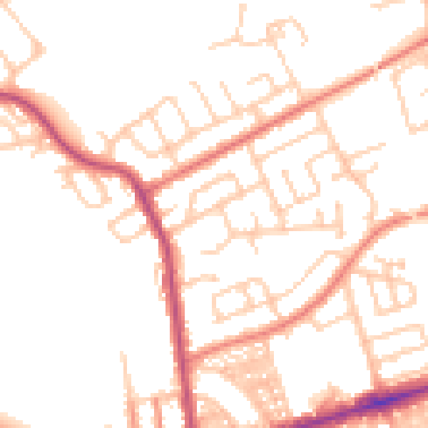
Daytime· 07:00 – 23:00
50.4dB

Night-time· 23:00 – 07:00
40.2dB