11 Belmont Road, Ashton On Ribble, Preston, PR2 2LJ
About 11 Belmont Road
11 Belmont Road is a three-bedroom end-of-terrace house in Ashton-On-Ribble, Preston, Preston (PR2 2LJ). It has a recorded floor area of 86 m² (around 926 sq ft), construction records dating it to before 1900 and council tax band A. The latest certificate (May 2016) shows an E (score 47), well below the UK norm with real room to improve. Earlier certificates rated it D (January 2009); the latest reading is one band lower. Between certificates, wall efficiency dropped from Good to Very Poor and window efficiency dropped from Good to Average. The recommended improvements would lift it to C (score 77), a 2-band jump. The latest certificate is from May 2016, so improvements made since then won't be reflected.
Untraded for 19 years, with the last transfer in December 2006. At 86 m² it's 23.2% smaller than the typical home in the postcode (112 m² median across 13 EPCs). It lags the bulk of the postcode on energy efficiency (less efficient than 85% of similar EPCs). Across 2004–2006, sale prices on this property compounded at 7.1% per year. Today's modelled estimate of £149,000 is 16.4% above the 2006 sale price. On a £-per-square-foot basis, the last sale (£138/sq ft) was about 50.8% above the typical sold price in the postcode.
Know exactly what you're buying at 11 Belmont Road
Before you offer, see what the listing won't tell you, the true value, the red flags and the full history.
Already flagged here
Valuation
against the asking price
Risks
planning & flood
Sold prices
similar homes nearby
Trends
the local market
What this property has
Inside
- Bedrooms3
- Bathrooms1
Building
- RefurbishedYes
Energy performance
11 Belmont Road's carbon output runs well above what efficient homes in the postcode produce.
EPC Expired
This certificate is over 10 years old and is no longer valid.Expired 02 May 2026
EPC Rating
Planning history
11 Belmont Road has no planning applications on record.
Notable planning nearby
16applications of note in the surrounding area
We flagged 2 things worth checking at 11 Belmont Road
Independent checks surfaced things a buyer would want to understand before offering. The report explains each one in full, with the underlying data and what to ask.
- Signs of HMO activity in the area
- Larger development activity nearby
30-day money-back guarantee
Sales history & valuation
11 Belmont Road saw 3 transfers in just over a decade — high turnover for the postcode.
£149,000
Modelled from EPC, postcode comparables and a sale-price growth of 7.1% per year over 3 years.
£128,000
Growth on file: 7.1% per year over 3 years.
Sales timeline
20 December 2006Most recent
£128,000
+2.4%over 2 years25 October 2004
£125,000
+19.0%over 9 months27 January 2004
£105,000
Median price across the last 5 sales in PR2 2LJ: £110,000 (2025–2023).
Nearby sales in PR2 2LJ
9 Belmont Road, Ashton On Ribble, Preston, PR2 2LJ
Sold Feb 2025
£143,5006 Belmont Road, Ashton On Ribble, Preston, PR2 2LJ
Sold Jan 2025
£90,00012 Belmont Road, Ashton On Ribble, Preston, PR2 2LJ
Sold Jan 2024
£110,00010 Belmont Road, Ashton On Ribble, Preston, PR2 2LJ
Sold Jun 2023
£120,00015 Belmont Road, Ashton On Ribble, Preston, PR2 2LJ
Sold Apr 2023
£100,000
Everything we know about 11 Belmont Road, in one report
What it's really worth, what could be wrong, and the planning, sales and area data in full.
What we flagged
- Signs of HMO activity in the area
- Larger development activity nearby

Versus other Belmont Road homes
11 Belmont Road outperforms the street on years held by a wide margin.
Price per m²
£1,488
Street avg £1,192
Floor Area
86 m²
Street avg 97 m²
Habitable Rooms
5 rooms
Street avg 5 rooms
CO₂ Emissions
6.2 t/year
Street avg 4.8 t/year
Similar properties nearby
1 Bulmer Street, Ashton On Ribble
PR2 2SL
1 Dorman Close, Ashton On Ribble
PR2 2BF
1 Fulshaw Road, Ashton On Ribble
PR2 2LH
1 Clovelly Avenue, Ashton On Ribble
PR2 2HP
1 Briggs Road, Ashton On Ribble
PR2 2EA
1 Drakes Croft, Ashton On Ribble
PR2 2LZ
1 Arnott Road, Ashton On Ribble
PR2 2EB
1 Bucklands Avenue, Ashton On Ribble
PR2 2BP
The neighbourhood at a glance
Crime
6/mo
Steady year-on-year across the wider district.
Nearest stop
0.1 km
Lane Ends — bus stop.
Closest school
0.5 km
The Roebuck School. 38 schools nearby.
Go deeper on the local area
The full report breaks down crime, transport links, schools and air quality in depth.
Road noise across the postcode
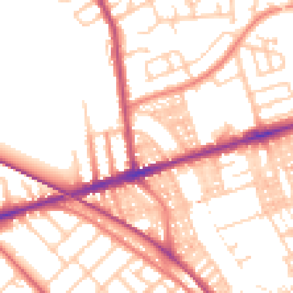
Daytime· 07:00 – 23:00
53.3dB

Night-time· 23:00 – 07:00
42.9dB