23 Bucklands Avenue, Ashton On Ribble, Preston, PR2 2BP
About 23 Bucklands Avenue
23 Bucklands Avenue is a two-bedroom mid-terrace house in Ashton-On-Ribble, Preston, Preston (PR2 2BP). It has a recorded floor area of 88 m² (around 947 sq ft), construction records dating it to 1900-1929 and council tax band B. The latest certificate (April 2014) shows a C (score 70). The recommended improvements would push it to B (score 83). The latest certificate is from April 2014, so improvements made since then won't be reflected. Other recorded features include a loft. Period features are noted in the property record. Records show the property has been extended at some point in its history.
At 88 m² it's 17.3% larger than the typical home in the postcode (75 m² median across 36 EPCs). Across 1998–2022, sale prices on this property compounded at 4.9% per year. Today's modelled estimate of £162,000 is 24.6% above the 2022 sale price. On a £-per-square-foot basis, the last sale (£137/sq ft) was about 36.6% above the typical sold price in the postcode. Last sale on file: £130,000 in May 2022. That sale was during the post-pandemic price surge, when transactions cleared materially above pre-2020 trend.
Know exactly what you're buying at 23 Bucklands Avenue
Before you offer, see what the listing won't tell you, the true value, the red flags and the full history.
Already flagged here
Valuation
against the asking price
Risks
planning & flood
Sold prices
similar homes nearby
Trends
the local market
What this property has
Inside
- Bedrooms2
- Bathrooms1
- Dining roomYes
- LoftYes
Building
- Period featuresYes
- Previously extendedYes
- RefurbishedYes
Energy performance
23 Bucklands Avenue's EPC is over a decade old — improvements since won't be reflected.
EPC Expired
This certificate is over 10 years old and is no longer valid.Expired 30 Apr 2024
EPC Rating
Planning history
23 Bucklands Avenue has no planning applications on record.
Notable planning nearby
16applications of note in the surrounding area
We flagged 2 things worth checking at 23 Bucklands Avenue
Independent checks surfaced things a buyer would want to understand before offering. The report explains each one in full, with the underlying data and what to ask.
- Signs of HMO activity in the area
- Larger development activity nearby
30-day money-back guarantee
Sales history & valuation
Sale price has grown by over 3x since 1998.
£162,000
Modelled from EPC, postcode comparables and a sale-price growth of 4.9% per year over 24 years.
£130,000
Growth on file: 4.9% per year over 24 years.
Sales timeline
10 May 2022Most recent
£130,000
+30.0%over 7 years20 August 2014
£100,000
+138.1%over 15 years9 September 1998
£42,000
Median price across the last 5 sales in PR2 2BP: £135,000 (2024–2023).
Nearby sales in PR2 2BP
16 Bucklands Avenue, Ashton On Ribble, Preston, PR2 2BP
Sold Dec 2024
£138,0002 Bucklands Avenue, Ashton On Ribble, Preston, PR2 2BP
Sold Sept 2024
£150,00015 Bucklands Avenue, Ashton On Ribble, Preston, PR2 2BP
Sold Mar 2024
£135,00034 Bucklands Avenue, Ashton On Ribble, Preston, PR2 2BP
Sold Jan 2024
£124,00022 Bucklands Avenue, Ashton On Ribble, Preston, PR2 2BP
Sold Nov 2023
£116,000
Everything we know about 23 Bucklands Avenue, in one report
What it's really worth, what could be wrong, and the planning, sales and area data in full.
What we flagged
- Signs of HMO activity in the area
- Larger development activity nearby

Versus other Bucklands Avenue homes
23 Bucklands Avenue outperforms the street on habitable rooms by a wide margin.
Price per m²
£1,477
Street avg £1,282
Floor Area
88 m²
Street avg 77 m²
Habitable Rooms
5 rooms
Street avg 4 rooms
CO₂ Emissions
3.0 t/year
Street avg 3.8 t/year
Similar properties nearby
1 Briggs Road, Ashton On Ribble
PR2 2EA
1 Drakes Croft, Ashton On Ribble
PR2 2LZ
1 Arnott Road, Ashton On Ribble
PR2 2EB
1 Bucklands Avenue, Ashton On Ribble
PR2 2BP
1 De Lacy Street, Ashton On Ribble
PR2 2DD
1 Balcarres Road, Ashton On Ribble
PR2 2BT
1 Brook Court, Dorman Close, Ashton On Ribble
PR2 2BG
1 Bray Street, Ashton On Ribble
PR2 2RP
The neighbourhood at a glance
Crime
6/mo
Steady year-on-year across the wider district.
Nearest stop
0.1 km
Roebuck Street — bus stop.
Closest school
0.1 km
The Roebuck School. 48 schools nearby.
Go deeper on the local area
The full report breaks down crime, transport links, schools and air quality in depth.
Road noise across the postcode
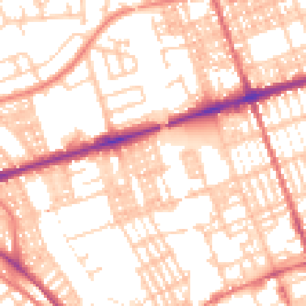
Daytime· 07:00 – 23:00
54.8dB

Night-time· 23:00 – 07:00
42.2dB