9 St Andrews Road, Farlington, Portsmouth, PO6 1AD
About 9 St Andrews Road
9 St Andrews Road is a three-bedroom semi-detached house in Farlington, Portsmouth, Portsmouth (PO6 1AD). It has a recorded floor area of 90 m² (around 969 sq ft), construction records dating it to 1930-1949 and council tax band D. The latest certificate (January 2017) shows an E (score 47), well below the UK norm with real room to improve. When first surveyed in May 2016 the rating was F, the property has climbed 1 band since. Between certificates, window efficiency went from Average to Good. The recommended improvements would lift it to B (score 85), a 3-band jump. Other recorded features include a conservatory.
One planning record on file: an extension approved in 2022. Past consents include an extension, meaningful when judging how the property has evolved. Today's modelled estimate of £398,000 is 46.3% above the 2017 sale price. On a £-per-square-foot basis, the last sale (£281/sq ft) was about 48.5% above the typical sold price in the postcode. Last changed hands 9 years ago, in January 2017. At 90 m² it's 16.9% smaller than the typical home in the postcode (108 m² median across 22 EPCs).
Know exactly what you're buying at 9 St Andrews Road
Before you offer, see what the listing won't tell you, the true value, the red flags and the full history.
Already flagged here
Valuation
against the asking price
Risks
planning & flood
Sold prices
similar homes nearby
Trends
the local market
What this property has
Inside
- Bedrooms3
- Bathrooms1
- Dining roomYes
- CloakroomYes
- ConservatoryYes
Outside
- Private gardenEast-facing
- DrivewayYes
Energy performance
Recommended upgrades on file would lift this property by multiple EPC bands.
EPC Rating
Property Improvements
Changes detected from historical EPC data
Windows upgraded, improving insulation
Planning history
9 St Andrews Road has an approved single-storey rear extension on the planning record.
- Mar 2022ExtensionOutlineIn report
Extension: Single storey · Rear of property
Construction of single-storey rear extension that comes out a maximum of 4m beyond the rear wall of the original house with a maximum height of 3.57m and a maximum height of 2.97m to the eaves.
- Agent
- FAO Mr Christopher Cook
- Documents
- 3 docs on file
- Reference
- 22/00015/GPDC
We flagged 1 thing worth checking at 9 St Andrews Road
Independent checks surfaced things a buyer would want to understand before offering. The report explains each one in full, with the underlying data and what to ask.
- Signs of HMO activity in the area
30-day money-back guarantee
Sales history & valuation
9 St Andrews Road valuation sits well clear of the typical sold price in this postcode.
£398,000
Modelled from EPC, postcode comparables.
£272,000
Recorded with HM Land Registry.
Sales timeline
13 January 2017Most recent
£272,000
Median price across the last 5 sales in PO6 1AD: £407,500 (2025–2018).
Nearby sales in PO6 1AD
3 St Andrews Road, Farlington, Portsmouth, PO6 1AD
Sold Aug 2025
£700,00011 St Andrews Road, Farlington, Portsmouth, PO6 1AD
Sold May 2025
£575,0002b, St Andrews Road, Farlington, Portsmouth, PO6 1AD
Sold Sept 2021
£330,00027 St Andrews Road, Farlington, Portsmouth, PO6 1AD
Sold Jun 2018
£310,00019 St Andrews Road, Farlington, Portsmouth, PO6 1AD
Sold Jan 2018
£400,000
Everything we know about 9 St Andrews Road, in one report
What it's really worth, what could be wrong, and the planning, sales and area data in full.
What we flagged
- Signs of HMO activity in the area

Versus other St Andrews Road homes
On epc rating, 9 St Andrews Road runs well behind the street norm.
Price per m²
£3,022
Street avg £2,601
Floor Area
90 m²
Street avg 122 m²
Habitable Rooms
5 rooms
Street avg 6 rooms
CO₂ Emissions
5.8 t/year
Street avg 5.4 t/year
Similar properties nearby
1 Hardy Road
PO6 1JY
1 Copsey Close, Drayton
PO6 1NT
1 Copsey Grove, Drayton
PO6 1NA
1 Acorn Close
PO6 1AU
1 Elmtree Road
PO6 1AY
1 Copper Beech Drive
PO6 1AZ
1 Highlands Road, Drayton
PO6 1HL
1 Blake Road, Drayton
PO6 1ET
The neighbourhood at a glance
Crime
9/mo
Steady year-on-year across the wider district.
Nearest stop
0.2 km
St Andrews Church — bus stop.
Closest school
0.8 km
Solent Infant School. 19 schools nearby.
Go deeper on the local area
The full report breaks down crime, transport links, schools and air quality in depth.
Road noise across the postcode
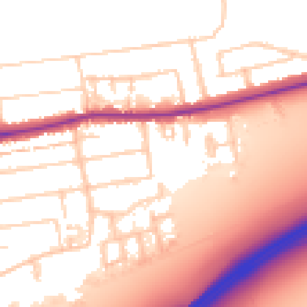
Daytime· 07:00 – 23:00
55.8dB

Night-time· 23:00 – 07:00
46.5dB