8 St Andrews Road, Farlington, Portsmouth, PO6 1AD
About 8 St Andrews Road
8 St Andrews Road is a four-bedroom detached house in Farlington, Portsmouth, Portsmouth (PO6 1AD). It has a recorded floor area of 198 m² (around 2131 sq ft), construction records dating it to 1930-1949 and council tax band E. The latest certificate (November 2021) shows an E (score 54), well below the UK norm with real room to improve. Earlier certificates rated it C (July 2011); the latest reading is 2 bands lower. Between certificates, lighting went from Poor to Very Good; while wall efficiency dropped from Good to Poor and roof efficiency dropped from Average to Very Poor. The recommended improvements would lift it to C (score 69), a 2-band jump. Records show the property has been extended at some point in its history.
At 198 m² the property is well over the postcode median (105 m² across 22 EPCs), placing it in the larger end of the local stock. Across 1997–2011, sale prices on this property compounded at 7.6% per year. Today's modelled estimate of £654,000 sits 124% above the 2011 sale of £292,000. On a £-per-square-foot basis, the last sale (£137/sq ft) was about 29.1% below the postcode norm. Last sold in October 2011, so it's been off the market for around 15 years. 2 planning records sit against the property, 0 approved, 0 refused.
Know exactly what you're buying at 8 St Andrews Road
Before you offer, see what the listing won't tell you, the true value, the red flags and the full history.
Already flagged here
Valuation
against the asking price
Risks
planning & flood
Sold prices
similar homes nearby
Trends
the local market
What this property has
Inside
- Bedrooms4
- Bathrooms3
- Open-plan layoutYes
- Utility roomYes
- CloakroomYes
- EnsuiteYes
- StudyYes
Outside
- Private gardenYes
- ParkingOff road
Building
- Previously extendedYes
Energy performance
8 St Andrews Road's carbon output runs well above what efficient homes in the postcode produce.
EPC Rating
Property Improvements
Changes detected from historical EPC data
Heating controls upgraded for better temperature management
More low energy lighting installed
Planning history
- Aug 2012RenovationFullIn report
Construction of hipped roof over existing flat roof
- Documents
- 4 docs on file
- Reference
- 12/00675/HOU
- Feb 2010PorchFullIn report
Extension: Single storey · Rear of property
Construction of first floor rear extension and porch to front elevation
- Agent
- Anthony Perry Associates Ltd
Extension- Documents
- 11 docs on file
- Reference
- 09/01570/HOU
We flagged 1 thing worth checking at 8 St Andrews Road
Independent checks surfaced things a buyer would want to understand before offering. The report explains each one in full, with the underlying data and what to ask.
- Signs of HMO activity in the area
30-day money-back guarantee
Sales history & valuation
8 St Andrews Road has more than doubled in price since the earliest registered sale in 1997.
£654,000
Modelled from EPC, postcode comparables and a sale-price growth of 7.6% per year over 14 years.
£292,000
Growth on file: 7.6% per year over 14 years.
Sales timeline
2 October 2011Most recent
£292,000
+179.4%over 13 years6 October 1997
£104,500
Median price across the last 5 sales in PO6 1AD: £407,500 (2025–2018).
Nearby sales in PO6 1AD
3 St Andrews Road, Farlington, Portsmouth, PO6 1AD
Sold Aug 2025
£700,00011 St Andrews Road, Farlington, Portsmouth, PO6 1AD
Sold May 2025
£575,0002b, St Andrews Road, Farlington, Portsmouth, PO6 1AD
Sold Sept 2021
£330,00027 St Andrews Road, Farlington, Portsmouth, PO6 1AD
Sold Jun 2018
£310,00019 St Andrews Road, Farlington, Portsmouth, PO6 1AD
Sold Jan 2018
£400,000
Everything we know about 8 St Andrews Road, in one report
What it's really worth, what could be wrong, and the planning, sales and area data in full.
What we flagged
- Signs of HMO activity in the area

Versus other St Andrews Road homes
On co₂ emissions, 8 St Andrews Road runs well behind the street norm.
Price per m²
£1,475
Street avg £2,683
Floor Area
198 m²
Street avg 117 m²
Habitable Rooms
7 rooms
Street avg 6 rooms
CO₂ Emissions
9.4 t/year
Street avg 5.2 t/year
Similar properties nearby
1 Blake Road, Drayton
PO6 1ET
1 Hilltop Crescent, Drayton
PO6 1BB
1 Highlands Road, Drayton
PO6 1HL
1 Copper Beech Drive
PO6 1AZ
1 Down End Road, Drayton
PO6 1HT
1 Hardy Road
PO6 1JY
1 Copsey Close, Drayton
PO6 1NT
1 Copsey Grove, Drayton
PO6 1NA
The neighbourhood at a glance
Crime
9/mo
Steady year-on-year across the wider district.
Nearest stop
0.2 km
St Andrews Church — bus stop.
Closest school
0.8 km
Solent Infant School. 19 schools nearby.
Go deeper on the local area
The full report breaks down crime, transport links, schools and air quality in depth.
Road noise across the postcode
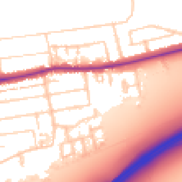
Daytime· 07:00 – 23:00
55.8dB

Night-time· 23:00 – 07:00
46.5dB