54b, St Andrews Road, Southsea, PO5 1EU
About 54b
54b is a one-bedroom mid-terrace house in Southsea (PO5 1EU). It has a recorded floor area of 37 m² (around 398 sq ft), construction records dating it to 1900-1929 and council tax band A. Tenure is freehold. At 37 m² this is the 13th smallest of 55 units on EPC record in the building, where floor areas span 18–293 m². The building's EPC ratings span F to C, with this unit at the top. The latest certificate (January 2020) shows a C (score 76), near the top of the C band. Earlier certificates rated it B (April 2011); the latest reading is one band lower. Between certificates, window efficiency went from Average to Good and lighting went from Average to Very Good; while wall efficiency dropped from Average to Poor and hot-water efficiency dropped from Very Good to Good.
Across 2004–2020, sale prices on this property compounded at 2% per year. Today's modelled estimate of £143,000 is 10% above the 2020 sale price. On a £-per-square-foot basis, the last sale (£326/sq ft) was about 103.5% above the typical sold price in the postcode. At 37 m² it's 18.7% smaller than the typical home in the postcode (46 m² median across 54 EPCs). Most recent transfer: July 2020 at £130,000.
Know exactly what you're buying at 54b
Before you offer, see what the listing won't tell you, the true value, the red flags and the full history.
Already flagged here
Launch offer · save £5
Valuation
against the asking price
Risks
planning & flood
Sold prices
similar homes nearby
Trends
the local market
What this property has
Inside
- Bedrooms1
- Bathrooms1
Building
- TenureFreehold
- Heating systemgas
Energy performance
54b's carbon output is low for the local stock.
EPC Rating
Property Improvements
Changes detected from historical EPC data
Heating controls upgraded for better temperature management
Hot water efficiency decreased
Window efficiency improved
More low energy lighting installed
Planning history
54b has no planning applications on record.
Notable planning nearby
111applications of note in the surrounding area
We flagged 1 thing worth checking at 54b
Independent checks surfaced things a buyer would want to understand before offering. The report explains each one in full, with the underlying data and what to ask.
- Signs of HMO activity in the area
30-day money-back guarantee
Sales history & valuation
The latest sale landed in the post-pandemic price surge — useful context when reading the figure.
£143,000
Modelled from EPC, postcode comparables and a sale-price growth of 2.0% per year over 16 years.
£130,000
Growth on file: 2.0% per year over 16 years.
Sales timeline
23 July 2020Most recent
£130,000
+36.8%over 6 years15 April 2014
£95,000
+1.1%over 9 years20 April 2004
£94,000
Median price across the last 5 sales in PO5 1EU: £161,000 (2025–2022).
Nearby sales in PO5 1EU
Flat 2, 62 St Andrews Road, Southsea, PO5 1EU
Sold Mar 2025
£135,00054a, St Andrews Road, Southsea, PO5 1EU
Sold Nov 2024
£259,500Flat 1, 56 St Andrews Road, Southsea, PO5 1EU
Sold Sept 2024
£161,00044d, St Andrews Road, Southsea, PO5 1EU
Sold Mar 2023
£155,000Flat 3, 56 St Andrews Road, Southsea, PO5 1EU
Sold Nov 2022
£165,000
Everything we know about 54b, in one report
What it's really worth, what could be wrong, and the planning, sales and area data in full.
What we flagged
- Signs of HMO activity in the area

Versus other St Andrews Road homes
CO₂ Emissions for 54b runs comfortably ahead of the street norm.
Price per m²
£3,514
Street avg £2,870
Floor Area
37 m²
Street avg 44 m²
Habitable Rooms
2 rooms
Street avg 2 rooms
CO₂ Emissions
1.0 t/year
Street avg 1.9 t/year
Similar properties nearby
1 Britannia Road
PO5 1SN
1 Campbell Road
PO5 1RH
1 Cleveland Road
PO5 1SF
1 Dufose Terrace, St Andrews Road
PO5 1DX
1 Inglis Road
PO5 1PB
1 Friendship House, Elm Grove
PO5 1JT
1 Boardpoint House, Windsor Lane
PO5 1HF
1 Pains Lodge, Pains Road
PO5 1AS
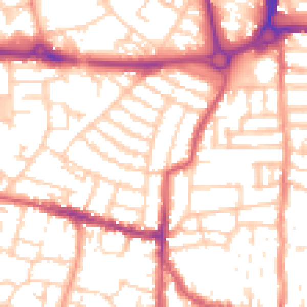
The neighbourhood at a glance
Rail-style transport is unusually close for this postcode.
Crime
11/mo
Steady year-on-year across the wider district.
Nearest stop
0.1 km
Outram Road — bus stop.
Closest school
0.3 km
Cottage Grove Primary School and Nursery. 35 schools nearby.
Go deeper on the local area
The full report breaks down crime, transport links, schools and air quality in depth.
Road noise across the postcode
Daytime· 07:00 – 23:00
53.9dB

Night-time· 23:00 – 07:00
42.8dB