The Forge, Binstead Road, Ryde, PO33 3RD
About The Forge
The Forge is a detached house in Ryde (PO33 3RD). It has a recorded floor area of 107 m² (around 1152 sq ft), construction records dating it to 1900-1929 and council tax band E. The latest certificate (January 2024) shows an E (score 53), well below the UK norm with real room to improve. The recommended improvements would lift it to B (score 81), a 3-band jump.
At 107 m² it's 20.9% larger than the typical home in the postcode (89 m² median across 16 EPCs). It lags the bulk of the postcode on energy efficiency (less efficient than 88% of similar EPCs).
Everything you need to know about The Forge
The true value, the hidden risks and the full sale history, in one report.
30-day money-back guarantee

The data behind every report


Energy performance
Recommended upgrades on file would lift this property by multiple EPC bands.
EPC Rating
Planning history
The Forge has no planning applications on record.
Notable planning nearby
1applications of note in the surrounding area
We flagged 1 thing worth checking at The Forge
Independent checks surfaced things a buyer would want to understand before offering. The report explains each one in full, with the underlying data and what to ask.
- Larger development activity nearby
30-day money-back guarantee
Sales history & valuation
The Forge has no Land Registry sales on file, suggesting it has stayed in the same hands since registration began.
£386,000
Modelled from EPC, postcode comparables.
No sales recorded with HM Land Registry
That can mean the property has never traded since the registry began publishing in 1995, was a new build that hasn't been registered yet, or is held in the same hands long-term.
Median price across the last 5 sales in PO33 3RD: £196,500 (2021–2016).
Nearby sales in PO33 3RD
Easterly, Binstead Road, Ryde, PO33 3RD
Sold Sept 2021
£196,500Rylstone, Binstead Road, Ryde, PO33 3RD
Sold Mar 2019
£163,000Stoneleigh, Binstead Road, Ryde, PO33 3RD
Sold Sept 2017
£160,000Long Acre, Binstead Road, Ryde, PO33 3RD
Sold Jul 2016
£232,500Maple Tree House, Binstead Road, Ryde, PO33 3RD
Sold Jan 2016
£292,000
Versus other Binstead Road homes
Habitable Rooms for The Forge runs comfortably ahead of the street norm.
EPC Rating
53 (E)
Street avg 67 (D)
Floor Area
107 m²
Street avg 96 m²
CO₂ Emissions
5.6 t/year
Street avg 3.6 t/year
Habitable Rooms
6 rooms
Street avg 5 rooms
Everything you need to know about The Forge
The true value, the hidden risks and the full sale history, in one report.
30-day money-back guarantee
The data behind every report
Similar properties nearby
The neighbourhood at a glance
Daytime road noise here sits well below conversation level — a quiet pocket of the postcode.
Crime
7/mo
Steady year-on-year across the wider district.
Nearest stop
0.1 km
Binstead Arms — bus stop.
Closest school
0.4 km
Binstead Primary School. 7 schools nearby.
Go deeper on the local area
The full report breaks down crime, transport links, schools and air quality in depth.
Road noise across the postcode
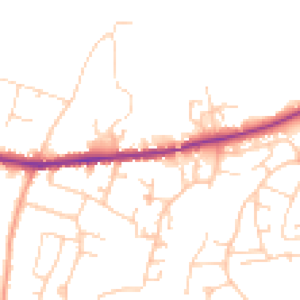
Daytime· 07:00 – 23:00
48.2dB

Night-time· 23:00 – 07:00
39.4dB