Model valuation£417,0008 Busby Close
Local market context
107 Titchfield Road is a four-bedroom detached house in Stubbington, Fareham, Fareham (PO14 2JB). It has a recorded floor area of 221 m² (around 2379 sq ft), construction records dating it to 1930-1949 and council tax band E. The latest certificate (May 2024) shows a C (score 74). When first surveyed in June 2012 the rating was E, the property has climbed 2 bands since. Between certificates, roof efficiency went from Poor to Good and window efficiency went from Average to Good. The recommended improvements would push it to B (score 81). Other recorded features include outbuildings.
At 221 m² the property is well over the postcode median (116 m² across 6 EPCs), placing it in the larger end of the local stock. On energy efficiency it sits in the top 10% of properties in this postcode. 2 planning records sit against the property, 0 approved, 0 refused. Across 2013–2024, sale prices on this property compounded at 8.3% per year. Sold October 2024 for £662,500.
The true value, the hidden risks and the full sale history, in one report.
Pick your report · from £14.99
One time fee only - money back guarantee

The data behind every report


107 Titchfield Road ranks among the most efficient homes in the postcode for energy use.
Certificate validity
Valid until 8 May 2034
Changes detected from historical EPC data
Window efficiency improved
Roof insulation improved

Get a survey for this property
Because the property has been extended more than once and has permanent outbuildings, we believe a Level 3 building survey should be considered.
From £1,155 · Includes VAT
2 applications on record at 107 Titchfield Road, Stubbington, Fareham, PO14 2JB
Extension: Single storey
Erection Of Single Storey Front And Rear Extensions Following Removal Of Existing Rear Lobby And Sunroom, Provision Of Pitched Roof Over Existing Flat Roof At Rear To Provide Void Above New Kitchen, Insertion Of Two Roof Lights In South Facing Roof Plane And Erection Of Detached Workshop Outbuilding
You're seeing the shape of it. The report has the substance.
One time fee only - money back guarantee
Latest sale on 107 Titchfield Road was the highest on Land Registry record across the postcode.
£680,000
Modelled from EPC, postcode comparables and a sale-price growth of 8.3% per year over 12 years.
£662,500
Growth on file: 8.3% per year over 12 years.
13 October 2024Most recent
£662,500
+152.9%over 11 years8 March 2013
£262,000
Median price across the last 5 sales in PO14 2JB: £375,000 (2025–2014).
111 Titchfield Road, Stubbington, Fareham, PO14 2JB
Sold Mar 2025
113 Titchfield Road, Stubbington, Fareham, PO14 2JB
Sold Jul 2020
109 Titchfield Road, Stubbington, Fareham, PO14 2JB
Sold Jul 2016
90 Titchfield Road, Stubbington, Fareham, PO14 2JB
Sold Oct 2014
92 Titchfield Road, Stubbington, Fareham, PO14 2JB
Sold Apr 2014
107 Titchfield Road outperforms the street on epc rating by a wide margin.
Price per m²
£2,998
Street avg £3,090
Floor Area
221 m²
Street avg 121 m²
Habitable Rooms
6 rooms
Street avg 6 rooms
CO₂ Emissions
5.4 t/year
Street avg 5.8 t/year
Property research, connected
Explore sale histories, valuations, energy ratings and local areas. Ask the assistant to connect the details and take your research further.
Start your researchPO14 2JN
PO14 2LU
PO14 2NX
PO14 2DY
PO14 2LF
PO14 2RH
PO14 2LY
PO14 2BQ
Daytime road noise here sits well below conversation level — a quiet pocket of the postcode.
Crime
143/mo
Falling year-on-year across the wider district.
Nearest stop
0.0 km
Anker Lane — bus stop.
Closest school
0.8 km
Crofton Anne Dale Junior School. 16 schools nearby.
Go deeper on the local area
A Local Area report breaks down crime, transport links, schools and air quality in depth.
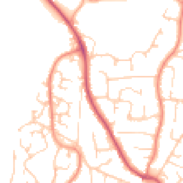
Daytime· 07:00 – 23:00
49.1dB

Night-time· 23:00 – 07:00
39.0dB