7 Alfrey Close, Emsworth, PO10 8ET
About 7 Alfrey Close
7 Alfrey Close is a detached house in Emsworth (PO10 8ET). It has a recorded floor area of 126 m² (around 1356 sq ft). The latest certificate (January 2019) returns a high B (score 85), putting the home a stone's throw from an A rating. The recommended improvements would push it to A (score 94).
At 126 m² the property is well over the postcode median (95 m² across 43 EPCs), placing it in the larger end of the local stock. Today's modelled estimate of £534,000 is 20% above the 2019 sale price. Most recent transfer: February 2019 at £445,000.
Know exactly what you're buying at 7 Alfrey Close
Before you offer, see what the listing won't tell you, the true value, the red flags and the full history.
Already flagged here
Launch offer · save £5
Valuation
against the asking price
Risks
planning & flood
Sold prices
similar homes nearby
Trends
the local market
Energy performance
EPC Rating
Planning history
7 Alfrey Close has no planning applications on record.
Notable planning nearby
4applications of note in the surrounding area
We flagged 1 thing worth checking at 7 Alfrey Close
Independent checks surfaced things a buyer would want to understand before offering. The report explains each one in full, with the underlying data and what to ask.
- Larger development activity nearby
30-day money-back guarantee
Sales history & valuation
7 Alfrey Close valuation sits well clear of the typical sold price in this postcode.
£534,000
Modelled from EPC, postcode comparables.
£445,000
Recorded with HM Land Registry.
Sales timeline
26 February 2019Most recent
£445,000
Median price across the last 5 sales in PO10 8ET: £355,000 (2025–2023).
Nearby sales in PO10 8ET
Everything we know about 7 Alfrey Close, in one report
What it's really worth, what could be wrong, and the planning, sales and area data in full.
What we flagged
- Larger development activity nearby

Versus other Alfrey Close homes
Price per m² for 7 Alfrey Close lags the street by a wide margin.
Price per m²
£3,532
Street avg £4,111
Floor Area
126 m²
Street avg 99 m²
CO₂ Emissions
1.6 t/year
Street avg 1.6 t/year
Years Held
7 years
Street avg 5 years
Similar properties nearby
1 Benjamin Drive
PO10 8NT
1 Cockbush Cottages, Woodberry Lane
PO10 8QN
1 Chantry Hall, Westbourne
PO10 8FG
1 Barn Cottages, Prinsted Lane, Prinsted
PO10 8HT
1 Alfrey Close
PO10 8ET
1 Breach Avenue
PO10 8NB
1 Collett Crescent
PO10 8GD
1 Cedar Villas, Commonside
PO10 8TD
The neighbourhood at a glance
Rail-style transport is unusually close for this postcode.
Crime
2/mo
Steady year-on-year across the wider district.
Nearest stop
0.1 km
Garsons Road Corner — bus stop.
Closest school
0.4 km
Bourne Community College. 8 schools nearby.
Go deeper on the local area
The full report breaks down crime, transport links, schools and air quality in depth.
Road noise across the postcode
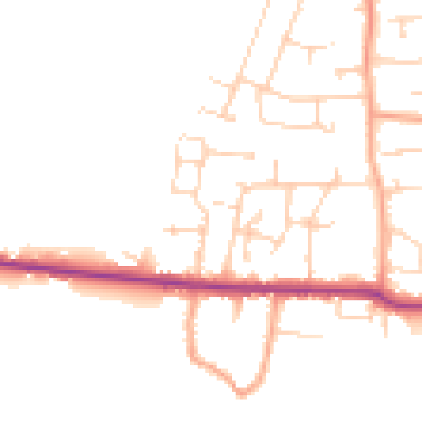
Daytime· 07:00 – 23:00
47.4dB

Night-time· 23:00 – 07:00
39.0dB