17 Alfrey Close, Emsworth, PO10 8ET
About 17 Alfrey Close
17 Alfrey Close is a detached house in Emsworth (PO10 8ET). It has a recorded floor area of 128 m² (around 1378 sq ft). The latest certificate (June 2019) returns a B (score 84), comfortably above the UK average. The recommended improvements would push it to A (score 93).
At 128 m² the property is well over the postcode median (95 m² across 43 EPCs), placing it in the larger end of the local stock. Today's modelled estimate of £598,000 is 15.7% above the 2019 sale price. Last sale on file: £517,000 in June 2019.
Know exactly what you're buying at 17 Alfrey Close
Before you offer, see what the listing won't tell you, the true value, the red flags and the full history.
Already flagged here
Launch offer · save £5
Valuation
against the asking price
Risks
planning & flood
Sold prices
similar homes nearby
Trends
the local market
Energy performance
EPC Rating
Planning history
17 Alfrey Close has no planning applications on record.
Notable planning nearby
4applications of note in the surrounding area
We flagged 1 thing worth checking at 17 Alfrey Close
Independent checks surfaced things a buyer would want to understand before offering. The report explains each one in full, with the underlying data and what to ask.
- Larger development activity nearby
30-day money-back guarantee
Sales history & valuation
17 Alfrey Close valuation sits well clear of the typical sold price in this postcode.
£598,000
Modelled from EPC, postcode comparables.
£517,000
Recorded with HM Land Registry.
Sales timeline
27 June 2019Most recent
£517,000
Median price across the last 5 sales in PO10 8ET: £355,000 (2025–2023).
Nearby sales in PO10 8ET
Everything we know about 17 Alfrey Close, in one report
What it's really worth, what could be wrong, and the planning, sales and area data in full.
What we flagged
- Larger development activity nearby

Versus other Alfrey Close homes
17 Alfrey Close outperforms the street on years held by a wide margin.
Price per m²
£4,039
Street avg £4,098
Floor Area
128 m²
Street avg 99 m²
CO₂ Emissions
1.7 t/year
Street avg 1.6 t/year
Years Held
7 years
Street avg 6 years
Similar properties nearby
1 Barn Cottages, Prinsted Lane, Prinsted
PO10 8HT
1 Cockbush Cottages, Woodberry Lane
PO10 8QN
1 Benjamin Drive
PO10 8NT
1 Chantry Hall, Westbourne
PO10 8FG
1 Alfrey Close
PO10 8ET
1 Breach Avenue
PO10 8NB
1 Collett Crescent
PO10 8GD
1 Cedar Villas, Commonside
PO10 8TD
The neighbourhood at a glance
Rail-style transport is unusually close for this postcode.
Crime
2/mo
Steady year-on-year across the wider district.
Nearest stop
0.1 km
Garsons Road Corner — bus stop.
Closest school
0.4 km
Bourne Community College. 8 schools nearby.
Go deeper on the local area
The full report breaks down crime, transport links, schools and air quality in depth.
Road noise across the postcode
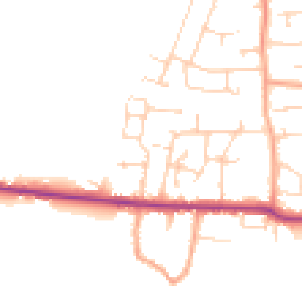
Daytime· 07:00 – 23:00
47.4dB

Night-time· 23:00 – 07:00
39.0dB