15 Alver Road, Portsmouth, PO1 5HW
About 15 Alver Road
15 Alver Road is a mid-terrace house in Portsmouth (PO1 5HW). It has a recorded floor area of 106 m² (around 1141 sq ft), construction records dating it to 1900-1929 and council tax band B. The latest certificate (January 2014) shows a D (score 56), a step below the typical UK home. The recommended improvements would push it to C (score 73). The latest certificate is from January 2014, so improvements made since then won't be reflected.
It hasn't traded since September 2008, a hold of 18 years that's notably long for the area. Across the public record there are 4 sales, relatively high churn for a single property. That sale landed at the peak of the pre-credit-crunch market, which is a useful reference point when interpreting the price. At 106 m² the property is well over the postcode median (77 m² across 45 EPCs), placing it in the larger end of the local stock. Across 1996–2008, sale prices on this property compounded at 12.2% per year. Today's modelled estimate of £217,000 sits 69.5% above the 2008 sale of £128,000. On a £-per-square-foot basis, the last sale (£112/sq ft) was about 25.5% below the postcode norm.
Everything you need to know about 15 Alver Road
The true value, the hidden risks and the full sale history, in one report.
Pick your report · every report is £14.99
One time fee only - money back guarantee

The data behind every report


Energy performance
15 Alver Road's EPC is over a decade old — improvements since won't be reflected.
EPC Expired
This certificate is over 10 years old and is no longer valid.Expired 24 Jan 2024
EPC Rating
Get a survey for this property
Level 3 Building Survey
Because the property was built before 1919, we believe a Level 3 building survey should be considered.
From £885 · Includes VAT
Planning history
15 Alver Road has no planning applications on record.
But the area is active
33 notable applications nearby — larger schemes and conversions that could reshape the street. The report maps them all.
Sales history & valuation
15 Alver Road has more than quadrupled in price since its earliest registered sale in 1996.
£217,000
Modelled from EPC, postcode comparables and a sale-price growth of 12.2% per year over 12 years.
£128,000
Growth on file: 12.2% per year over 12 years.
Sales timeline
4 September 2008Most recent
£128,000
+82.9%over 8 years26 April 2000
£69,995
+47.4%over 3 years25 June 1996
£47,500
+55.7%14 March 1996
£30,500
Median price across the last 5 sales in PO1 5HW: £195,000 (2025–2024).
Versus other Alver Road homes
15 Alver Road is notably below the street on co₂ emissions.
Price per m²
£1,208
Street avg £1,942
Floor Area
106 m²
Street avg 79 m²
Habitable Rooms
4 rooms
Street avg 4 rooms
CO₂ Emissions
5.8 t/year
Street avg 3.1 t/year
Everything you need to know about 15 Alver Road
The true value, the hidden risks and the full sale history, in one report.
Pick your report · every report is £14.99
One time fee only - money back guarantee
The data behind every report
Similar properties nearby
The neighbourhood at a glance
Rail-style transport is unusually close for this postcode.
Crime
9/mo
Steady year-on-year across the wider district.
Nearest stop
0.1 km
St Marys Church — bus stop.
Closest school
0.2 km
The Portsmouth Academy. 43 schools nearby.
Go deeper on the local area
A Local Area report breaks down crime, transport links, schools and air quality in depth.
Road noise across the postcode
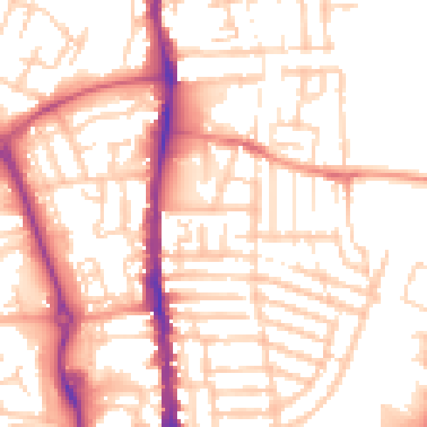
Daytime· 07:00 – 23:00
53.6dB

Night-time· 23:00 – 07:00
42.8dB