11 Drummond Road, Portsmouth, PO1 4HP
About 11 Drummond Road
11 Drummond Road is a one-bedroom mid-terrace house in Portsmouth (PO1 4HP). It has a recorded floor area of 105 m² (around 1130 sq ft), construction records dating it to 1900-1929 and council tax band B. The latest certificate (April 2016) shows a C (score 70). When first surveyed in June 2009 the rating was E, the property has climbed 2 bands since. Between certificates, wall efficiency went from Very Poor to Good and roof efficiency went from Very Poor to Good; while window efficiency dropped from Good to Average. The recommended improvements would push it to B (score 83). The latest certificate is from April 2016, so improvements made since then won't be reflected.
It hasn't traded since December 1999, a hold of 26 years that's notably long for the area. Only one transfer is on record with HM Land Registry, suggesting it has stayed in the same hands for a long time. Today's modelled estimate of £214,000 sits 195.2% above the 1999 sale of £72,500. On a £-per-square-foot basis, the last sale (£64/sq ft) was about 51.2% below the postcode norm. At 105 m² it's 18% larger than the typical home in the postcode (89 m² median across 29 EPCs). 1 bedrooms is on the smaller side for this postcode, where 3 is the typical count.
What this property has
Inside
- Bedrooms1
Outside
- Private gardenYes
Building
- Central heatingYes
Everything you need to know about 11 Drummond Road
The true value, the hidden risks and the full sale history, in one report.
Pick your report · every report is £14.99
One time fee only - money back guarantee

The data behind every report


Energy performance
EPC Expired
This certificate is over 10 years old and is no longer valid.Expired 10 Apr 2026
EPC Rating
Property Improvements
Changes detected from historical EPC data
Heating controls upgraded for better temperature management
Low energy lighting percentage decreased
Heating controls changed
Windows upgraded, improving insulation
Wall insulation improved
More low energy lighting installed
Cavity wall insulation installed
Loft insulation installed or upgraded to 250mm+
Get a survey for this property
Level 3 Building Survey
Because the property was built before 1919, we believe a Level 3 building survey should be considered.
From £885 · Includes VAT
Planning history
11 Drummond Road has no planning applications on record.
But the area is active
2 notable applications nearby — larger schemes and conversions that could reshape the street. The report maps them all.
Sales history & valuation
11 Drummond Road has been held in the same hands since before 2000.
£214,000
Modelled from EPC, postcode comparables.
£72,500
Recorded with HM Land Registry.
Sales timeline
22 December 1999Most recent
£72,500
Median price across the last 5 sales in PO1 4HP: £220,000 (2024–2020).
Nearby sales in PO1 4HP
Versus other Drummond Road homes
Floor Area for 11 Drummond Road runs comfortably ahead of the street norm.
Price per m²
£690
Street avg £1,852
Floor Area
105 m²
Street avg 91 m²
Habitable Rooms
5 rooms
Street avg 5 rooms
CO₂ Emissions
3.2 t/year
Street avg 3.5 t/year
Everything you need to know about 11 Drummond Road
The true value, the hidden risks and the full sale history, in one report.
Pick your report · every report is £14.99
One time fee only - money back guarantee
The data behind every report
Similar properties nearby
The neighbourhood at a glance
Rail-style transport is unusually close for this postcode.
Crime
9/mo
Steady year-on-year across the wider district.
Nearest stop
0.2 km
Clarendon Street — bus stop.
Closest school
0.2 km
Arundel Court Primary Academy and Nursery. 42 schools nearby.
Go deeper on the local area
A Local Area report breaks down crime, transport links, schools and air quality in depth.
Road noise across the postcode
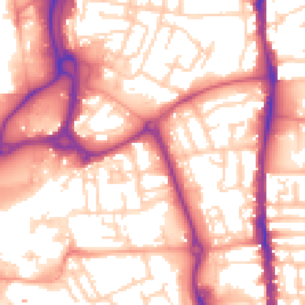
Daytime· 07:00 – 23:00
57.0dB

Night-time· 23:00 – 07:00
46.5dB