6 8, Flat, Church Street, Launceston, PL15 8AP
About 6 8
6 8 is a property in Launceston (PL15 8AP).
Last changed hands 9 years ago, in April 2017.
Know exactly what you're buying at 6 8
Before you offer, see what the listing won't tell you, the true value, the red flags and the full history.
Launch offer · save £5
Valuation
against the asking price
Risks
planning & flood
Sold prices
similar homes nearby
Trends
the local market
Energy performance
No EPC on record
This property doesn't have an Energy Performance Certificate yet. An EPC is required to sell or let — and unlocks our automated valuation.
Planning history
6 8 has no planning applications on record.
The full report still covers planning activity across the surrounding area.
Sales history & valuation
Latest sale on 6 8 was the lowest on Land Registry record across the postcode.
£27,000
Recorded with HM Land Registry.
Sales timeline
20 April 2017Most recent
£27,000
Median price across the last 5 sales in PL15 8AP: £85,000 (2019–2012).
Nearby sales in PL15 8AP
6 8, Church Street, Launceston, PL15 8AP
Sold Sept 2019
£80,000Flat, 18 Church Street, Launceston, PL15 8AP
Sold Dec 2018
£148,00014a, Church Street, Launceston, PL15 8AP
Sold Oct 2016
£135,00010 Church Street, Launceston, PL15 8AP
Sold Sept 2012
£85,000Sanford Tymewell Flat, 16 Church Street, Launceston, PL15 8AP
Sold May 1996
£30,000
Everything we know about 6 8, in one report
What it's really worth, what could be wrong, and the planning, sales and area data in full.
- Am I paying too much?
- Is something wrong with it?
- Is the agent's story true?
- Will it hold its value?

Similar properties nearby
1a, Flat 2, Church Street
PL15 8AW
6 Church Stile Flats, Church Stile
PL15 8AT
Autella, Flat 1, Westbridge Road
PL15 8HS
12a, Flat 1, The Walk
PL15 8BP
3 Church Stile Flats, Church Stile
PL15 8AT
19a, Flat 1, Church Street
PL15 8AW
12a, Flat 3, The Walk
PL15 8BP
1a, Flat 5, Church Street
PL15 8AW
The neighbourhood at a glance
Daytime road noise here sits well below conversation level — a quiet pocket of the postcode.
Crime
4/mo
Steady year-on-year across the wider district.
Nearest stop
0.1 km
Museum — bus stop.
Closest school
0.4 km
Windmill Hill Academy. 5 schools nearby.
Go deeper on the local area
The full report breaks down crime, transport links, schools and air quality in depth.
Road noise across the postcode
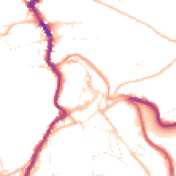
Daytime· 07:00 – 23:00
49.4dB

Night-time· 23:00 – 07:00
40.4dB