1 Lindisfarne Road, Eye, Peterborough, PE6 7XH
About 1 Lindisfarne Road
1 Lindisfarne Road is a property in Eye, Peterborough, Peterborough (PE6 7XH). It has council tax band C.
Untraded for 25 years, with the last transfer in March 2001. Across 1997–2001, sale prices on this property compounded at 14.1% per year.
Everything you need to know about 1 Lindisfarne Road
The true value, the hidden risks and the full sale history, in one report.
Pick your report · every report is £14.99
One time fee only - money back guarantee

The data behind every report


Energy performance
No EPC on record
This property doesn't have an Energy Performance Certificate yet. An EPC is required to sell or let — and unlocks our automated valuation.
Get a survey for this property
Level 2 HomeBuyer Report
We've checked 10 risk factors against the available data for this property and believe a Level 2 HomeBuyer Report could be a suitable option for you.
Planning history
1 Lindisfarne Road has no planning applications on record.
But the area is active
2 notable applications nearby — larger schemes and conversions that could reshape the street. The report maps them all.
Sales history & valuation
£88,500
Growth on file: 14.1% per year over 4 years.
Sales timeline
29 March 2001Most recent
£88,500
+60.9%over 3 years21 August 1997
£55,000
Median price across the last 5 sales in PE6 7XH: £295,000 (2025–2022).
Nearby sales in PE6 7XH
22 Lindisfarne Road, Eye, Peterborough, PE6 7XH
Sold Jul 2025
£315,0006 Lindisfarne Road, Eye, Peterborough, PE6 7XH
Sold Jul 2024
£300,0007 Lindisfarne Road, Eye, Peterborough, PE6 7XH
Sold Dec 2022
£295,00020 Lindisfarne Road, Eye, Peterborough, PE6 7XH
Sold Feb 2022
£210,00024 Lindisfarne Road, Eye, Peterborough, PE6 7XH
Sold Jun 2021
£250,000
Everything you need to know about 1 Lindisfarne Road
The true value, the hidden risks and the full sale history, in one report.
Pick your report · every report is £14.99
One time fee only - money back guarantee
The data behind every report
Similar properties nearby
1 Anglesey Way, Eye
PE6 7ZB
1 Chestnut Close, Peakirk
PE6 7NW
1 Beech Road, Glinton
PE6 7LA
1 Ashburn Close, Glinton
PE6 7LH
1 Bramble Close, Newborough
PE6 7RP
1 Bath Road, Eye
PE6 7PY
1 Beaulieu Court, Eye
PE6 7XT
1 Chestnut Close, Glinton
PE6 7LB
The neighbourhood at a glance
Daytime road noise here sits well below conversation level — a quiet pocket of the postcode.
Crime
2/mo
Steady year-on-year across the wider district.
Closest school
0.4 km
Eye CofE Primary School. 7 schools nearby.
Go deeper on the local area
A Local Area report breaks down crime, transport links, schools and air quality in depth.
Road noise across the postcode
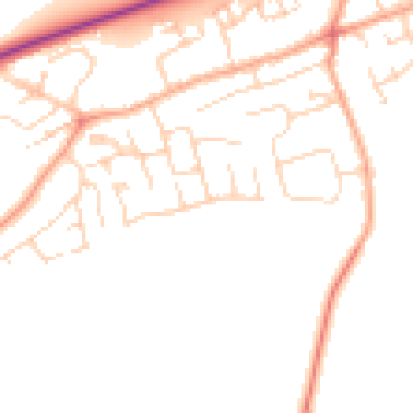
Daytime· 07:00 – 23:00
48.5dB

Night-time· 23:00 – 07:00
39.5dB