Model valuation£417,0008 Busby Close
Local market context
13 East Street is a three-bedroom property in Crowland, Peterborough, Peterborough (PE6 0EN). It has council tax band A. It is a listed building, which means external alterations are tightly controlled but it may qualify for heritage tax reliefs. Our model identifies extension potential, subject to local planning policy.
Last sold in October 2013, so it's been off the market for around 13 years. Across the public record there are 5 sales, relatively high churn for a single property. 9 planning records sit against the property, 0 approved, 0 refused. Across 1999–2013, sale prices on this property compounded at 11% per year.
The true value, the hidden risks and the full sale history, in one report.
Pick your report · from £14.99
One time fee only - money back guarantee

The data behind every report


This property doesn't have an Energy Performance Certificate yet. An EPC is required to sell or let — and unlocks our automated valuation.

Get a survey for this property
Because the property is a listed building, we believe a Level 3 building survey should be considered.
9 applications on record at 13 East Street, Crowland, Peterborough, PE6 0EN
Change colour of shop front windows and reveal sills to first and second floor.
+ 6 more applications in the report
You're seeing the shape of it. The report has the substance.
One time fee only - money back guarantee
13 East Street has more than quadrupled in price since its earliest registered sale in 1999.
£123,000
Growth on file: 11.0% per year over 14 years.
17 October 2013Most recent
£123,000
-12.1%over 5 years8 July 2008
£140,000
+27.3%over 3 years24 May 2005
£110,000
+39.2%over 3 years1 October 2001
£78,995
+182.1%over 2 years19 August 1999
£28,000
Median price across the last 5 sales in PE6 0EN: £190,000 (2024–2021).
3b, East Street, Crowland, Peterborough, PE6 0EN
Sold Oct 2024
Flat A, 14 East Street, Crowland, Peterborough, PE6 0EN
Sold Oct 2024
37 East Street, Crowland, Peterborough, PE6 0EN
Sold Sept 2021
17 East Street, Crowland, Peterborough, PE6 0EN
Sold Aug 2021
19 East Street, Crowland, Peterborough, PE6 0EN
Sold Aug 2021
Property research, connected
Explore sale histories, valuations, energy ratings and local areas. Ask the assistant to connect the details and take your research further.
Start your researchPE6 0BS
PE6 0ET
PE6 0QP
PE6 0EZ
PE6 0EX
PE6 0BJ
PE6 0EJ
PE6 0QS
Reported crime in the wider district is trending notably upward year-on-year.
Crime
175/mo
Rising year-on-year across the wider district.
Nearest stop
0.1 km
Ambury Gardens — bus stop.
Closest school
0.4 km
South View Community Primary School. 1 school nearby.
Go deeper on the local area
A Local Area report breaks down crime, transport links, schools and air quality in depth.
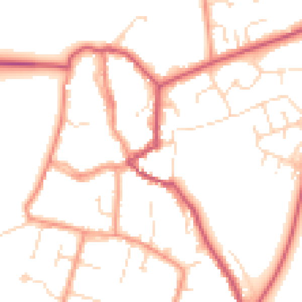
Daytime· 07:00 – 23:00
50.9dB

Night-time· 23:00 – 07:00
41.0dB