Model valuation£417,0008 Busby Close
Local market context
142 Norfolk Street is a property in King's Lynn (PE30 1AU).
It changed hands recently, sold June 2025 for £410,000. 7 planning records sit against the property, 5 approved, 2 refused. The record references listed-building consent, which constrain future alterations. Across 2016–2025, sale prices on this property compounded at -33.3% per year.
The true value, the hidden risks and the full sale history, in one report.
Pick your report · from £14.99
One time fee only - money back guarantee

The data behind every report


This property doesn't have an Energy Performance Certificate yet. An EPC is required to sell or let — and unlocks our automated valuation.

Get a survey for this property
We've checked 10 risk factors against the available data for this property and believe a Level 2 HomeBuyer Report could be a suitable option for you.
A change of use to residential application was refused at 142 Norfolk Street in 2024.
7 applications on record at 142 Norfolk Street, King's Lynn, PE30 1AU
Advertisement Consent: 1 Non-illuminated hanging sign
+ 4 more applications in the report
You're seeing the shape of it. The report has the substance.
One time fee only - money back guarantee
142 Norfolk Street saw 3 transfers in just over a decade — high turnover for the postcode.
£410,000
Growth on file: -33.3% per year over 9 years.
23 June 2025Most recent
£410,000
-5.7%over 3 years4 April 2022
£435,000
-97.4%over 5 years14 April 2016
£17,010,000
Property research, connected
Explore sale histories, valuations, energy ratings and local areas. Ask the assistant to connect the details and take your research further.
Start your researchRail-style transport is unusually close for this postcode.
Crime
458/mo
Steady year-on-year across the wider district.
Nearest stop
0.3 km
King's Lynn Ferry Landing — ferry terminal.
Closest school
0.5 km
Eastgate Academy. 17 schools nearby.
Go deeper on the local area
A Local Area report breaks down crime, transport links, schools and air quality in depth.
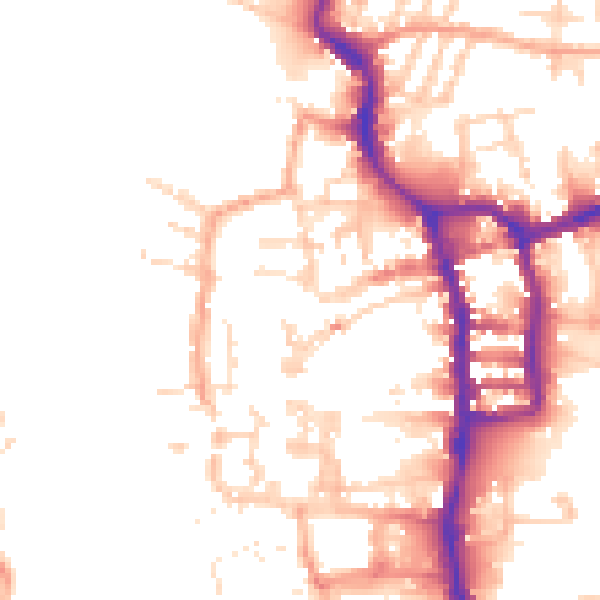
Daytime· 07:00 – 23:00
51.7dB
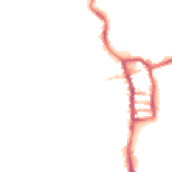
Night-time· 23:00 – 07:00
41.8dB