4 Fleur Drive, Spalding, PE11 1GL
About 4 Fleur Drive
4 Fleur Drive is a four-bedroom detached house in Spalding (PE11 1GL). It has a recorded floor area of 139 m² (around 1496 sq ft), construction records dating it to 1996-2002 and council tax band E. The latest certificate (August 2018) shows a C (score 73). The recommended improvements would push it to B (score 81).
Across 2001–2023, sale prices on this property compounded at 8.3% per year. On a £-per-square-foot basis, the last sale (£257/sq ft) was about 124.3% above the typical sold price in the postcode. Most recent transfer: August 2023 at £385,000.
Know exactly what you're buying at 4 Fleur Drive
Before you offer, see what the listing won't tell you, the true value, the red flags and the full history.
Valuation
against the asking price
Risks
planning & flood
Sold prices
similar homes nearby
Trends
the local market
What this property has
Inside
- Bedrooms4
- Dining roomYes
- EnsuiteYes
- StudyYes
Outside
- Private gardenYes
- ParkingOff road
Energy performance
EPC Rating
Planning history
4 Fleur Drive has no planning applications on record.
Notable planning nearby
3applications of note in the surrounding area
Sales history & valuation
Latest sale on 4 Fleur Drive was the highest on Land Registry record across the postcode.
£375,000
Modelled from EPC, postcode comparables and a sale-price growth of 8.3% per year over 22 years.
£385,000
Growth on file: 8.3% per year over 22 years.
Sales timeline
24 August 2023Most recent
£385,000
+479.4%over 22 years28 June 2001
£66,450
Median price across the last 5 sales in PE11 1GL: £240,000 (2018–2001).
Everything we know about 4 Fleur Drive, in one report
What it's really worth, what could be wrong, and the planning, sales and area data in full.
- Am I paying too much?
- Is something wrong with it?
- Is the agent's story true?
- Will it hold its value?

Similar properties nearby
The neighbourhood at a glance
Daytime road noise here sits well below conversation level — a quiet pocket of the postcode.
Crime
7/mo
Steady year-on-year across the wider district.
Nearest stop
0.2 km
Beck Road — bus stop.
Closest school
0.8 km
Spalding Primary Academy. 11 schools nearby.
Go deeper on the local area
The full report breaks down crime, transport links, schools and air quality in depth.
Road noise across the postcode
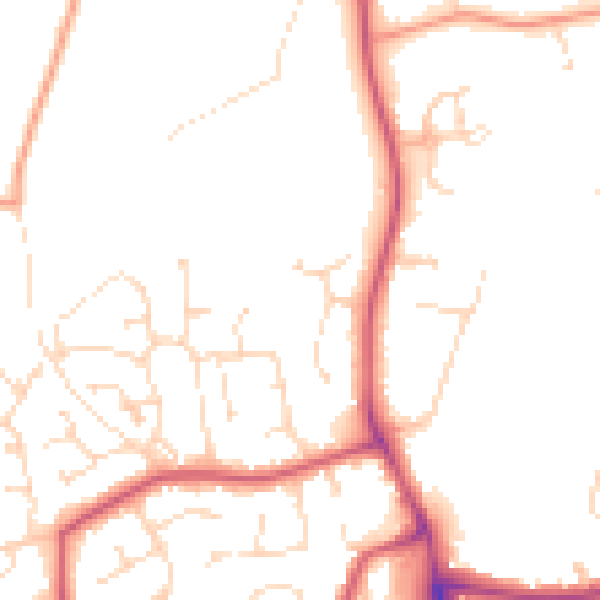
Daytime· 07:00 – 23:00
49.5dB
Night-time· 23:00 – 07:00
40.0dB