12 Chipmunk Drive, Witney, OX29 7BS
About 12 Chipmunk Drive
12 Chipmunk Drive is an end-of-terrace house in Witney (OX29 7BS). It has a recorded floor area of 82 m² (around 883 sq ft) and construction records dating it to 2021. The latest certificate (November 2021) returns a B (score 84), comfortably above the UK average. The recommended improvements would push it to A (score 95).
Today's modelled estimate of £311,000 is 43.6% below the 2020 sale of £551,307, running counter to the wider postcode trend, which makes the EPC and condition history especially worth a look. On a £-per-square-foot basis, the last sale (£625/sq ft) was about 82.9% above the typical sold price in the postcode. Sold December 2020 for £551,307.
Know exactly what you're buying at 12 Chipmunk Drive
Before you offer, see what the listing won't tell you, the true value, the red flags and the full history.
Valuation
against the asking price
Risks
planning & flood
Sold prices
similar homes nearby
Trends
the local market
Energy performance
12 Chipmunk Drive's carbon output is low for the local stock.
EPC Rating
Planning history
12 Chipmunk Drive has no planning applications on record.
The full report still covers planning activity across the surrounding area.
Sales history & valuation
The latest sale landed in the post-pandemic price surge — useful context when reading the figure.
£311,000
Modelled from EPC, postcode comparables.
£551,307
Recorded with HM Land Registry.
Sales timeline
18 December 2020Most recent
£551,307
Median price across the last 5 sales in OX29 7BS: £275,000 (2022–2021).
Nearby sales in OX29 7BS
Everything we know about 12 Chipmunk Drive, in one report
What it's really worth, what could be wrong, and the planning, sales and area data in full.
- Am I paying too much?
- Is something wrong with it?
- Is the agent's story true?
- Will it hold its value?

Versus other Chipmunk Drive homes
Price per m² for 12 Chipmunk Drive runs comfortably ahead of the street norm.
Price per m²
£6,723
Street avg £3,236
Floor Area
82 m²
Street avg 94 m²
CO₂ Emissions
1.2 t/year
Street avg 1.4 t/year
Years Held
5 years
Street avg 5 years
Similar properties nearby
1 Alice Batt Road
OX29 7BY
1 Dovecote Place, Curbridge
OX29 7AX
1 Abingdon Road, Standlake
OX29 7QH
1 Chipmunk Drive
OX29 7BS
1 Church Row, Curbridge
OX29 7NU
1 Brockley Cottages, Standlake
OX29 7QA
1 Church End, Standlake
OX29 7SG
1 College Place
OX29 7BT
The neighbourhood at a glance
Crime
2/mo
Steady year-on-year across the wider district.
Nearest stop
0.2 km
Mary Ellis Way — bus stop.
Closest school
0.3 km
Windrush Church of England Primary School. 9 schools nearby.
Go deeper on the local area
The full report breaks down crime, transport links, schools and air quality in depth.
Road noise across the postcode
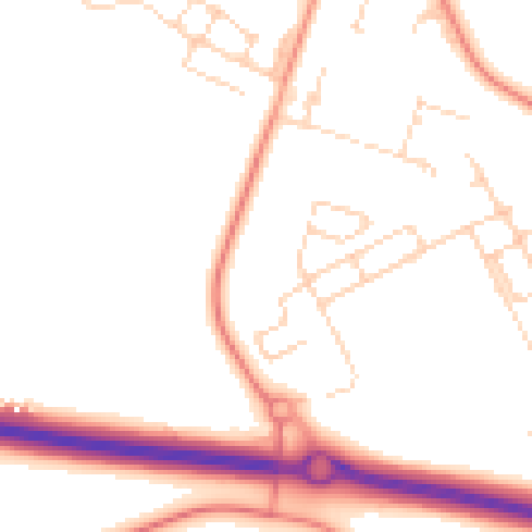
Daytime· 07:00 – 23:00
50.2dB

Night-time· 23:00 – 07:00
40.9dB