5 Chipmunk Drive, Witney, OX29 7BS
About 5 Chipmunk Drive
5 Chipmunk Drive is a semi-detached house in Witney (OX29 7BS). It has a recorded floor area of 63 m² (around 678 sq ft) and construction records dating it to 2021. The latest certificate (December 2021) returns a B (score 83), comfortably above the UK average. The recommended improvements would push it to A (score 97).
Today's modelled estimate of £314,000 is 14.2% above the 2021 sale price. On a £-per-square-foot basis, the last sale (£406/sq ft) was about 18.8% above the typical sold price in the postcode. At 63 m² it's 27.6% smaller than the typical home in the postcode (87 m² median across 33 EPCs). Last sale on file: £275,000 in December 2021. That sale was during the post-pandemic price surge, when transactions cleared materially above pre-2020 trend.
Know exactly what you're buying at 5 Chipmunk Drive
Before you offer, see what the listing won't tell you, the true value, the red flags and the full history.
Valuation
against the asking price
Risks
planning & flood
Sold prices
similar homes nearby
Trends
the local market
Energy performance
5 Chipmunk Drive's carbon output is low for the local stock.
EPC Rating
Planning history
5 Chipmunk Drive has no planning applications on record.
The full report still covers planning activity across the surrounding area.
Sales history & valuation
The latest sale landed in the post-pandemic price surge — useful context when reading the figure.
£314,000
Modelled from EPC, postcode comparables.
£275,000
Recorded with HM Land Registry.
Sales timeline
23 December 2021Most recent
£275,000
Median price across the last 5 sales in OX29 7BS: £168,600 (2022–2021).
Nearby sales in OX29 7BS
Everything we know about 5 Chipmunk Drive, in one report
What it's really worth, what could be wrong, and the planning, sales and area data in full.
- Am I paying too much?
- Is something wrong with it?
- Is the agent's story true?
- Will it hold its value?

Versus other Chipmunk Drive homes
5 Chipmunk Drive is notably below the street on floor area.
Price per m²
£4,365
Street avg £3,384
Floor Area
63 m²
Street avg 94 m²
CO₂ Emissions
1.0 t/year
Street avg 1.4 t/year
Years Held
4 years
Street avg 5 years
Similar properties nearby
1 Alice Batt Road
OX29 7BY
1 Dovecote Place, Curbridge
OX29 7AX
1 Abingdon Road, Standlake
OX29 7QH
1 Chipmunk Drive
OX29 7BS
1 Church Row, Curbridge
OX29 7NU
1 Brockley Cottages, Standlake
OX29 7QA
1 Church End, Standlake
OX29 7SG
1 College Place
OX29 7BT
The neighbourhood at a glance
Crime
2/mo
Steady year-on-year across the wider district.
Nearest stop
0.2 km
Mary Ellis Way — bus stop.
Closest school
0.3 km
Windrush Church of England Primary School. 9 schools nearby.
Go deeper on the local area
The full report breaks down crime, transport links, schools and air quality in depth.
Road noise across the postcode
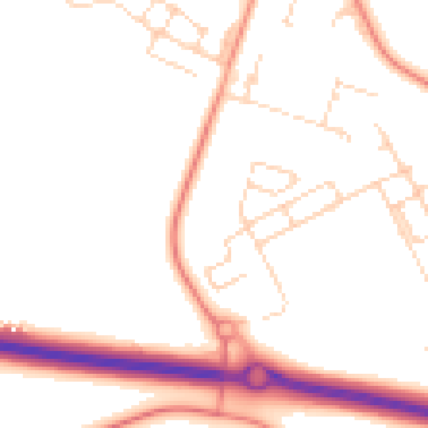
Daytime· 07:00 – 23:00
50.2dB

Night-time· 23:00 – 07:00
40.9dB