Model valuation£417,0008 Busby Close
Local market context
2 Mill Lane is a mid-terrace house in Adderbury, Banbury, Banbury (OX17 3LP). It has a recorded floor area of 67 m² (around 721 sq ft), construction records dating it to before 1900 and council tax band C. The latest certificate (June 2024) shows a D (score 58), a step below the typical UK home. The recommended improvements would lift it to B (score 88), a 2-band jump.
Sold December 2024 for £255,000.
The true value, the hidden risks and the full sale history, in one report.
Pick your report · from £14.99
One time fee only - money back guarantee

The data behind every report


Recommended upgrades on file would lift this property by multiple EPC bands.
Certificate validity
Valid until 24 June 2034

Get a survey for this property
Because the property was built before 1919, we believe a Level 3 building survey should be considered.
From £885 · Includes VAT
2 Mill Lane has no planning applications on record.
But the area is active
2 notable applications nearby — larger schemes and conversions that could reshape the street. The report maps them all.
£279,000
Modelled from EPC, postcode comparables.
£255,000
Recorded with HM Land Registry.
20 December 2024Most recent
£255,000
Median price across the last 5 sales in OX17 3LP: £275,000 (2025–2005).
On price per m², 2 Mill Lane runs well behind the street norm.
Price per m²
£3,806
Street avg £4,423
Floor Area
67 m²
Street avg 68 m²
Habitable Rooms
4 rooms
Street avg 4 rooms
CO₂ Emissions
4.0 t/year
Street avg 3.2 t/year
Property research, connected
Explore sale histories, valuations, energy ratings and local areas. Ask the assistant to connect the details and take your research further.
Start your researchOX17 3DQ
OX17 3QZ
OX17 3PR
OX17 3RU
OX17 3PU
OX17 3LY
OX17 3NN
OX17 3JT
Daytime road noise here sits well below conversation level — a quiet pocket of the postcode.
Crime
50/mo
Falling year-on-year across the wider district.
Nearest stop
0.3 km
Methodist Church — bus stop.
Closest school
0.6 km
Christopher Rawlins Church of England Primary School. 2 schools nearby.
Go deeper on the local area
A Local Area report breaks down crime, transport links, schools and air quality in depth.
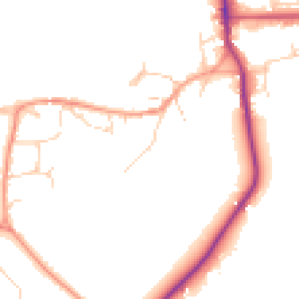
Daytime· 07:00 – 23:00
48.1dB
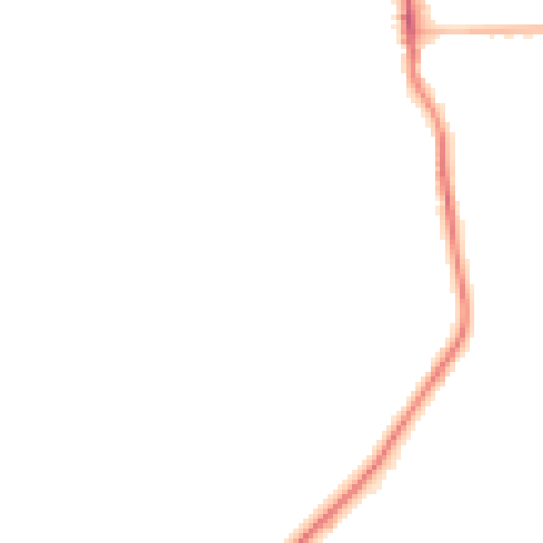
Night-time· 23:00 – 07:00
40.3dB